The city founded beside a thin stream in a bed of sand - and the canal that now keeps it full
Last revised October 2026. A long-read companion to the live dashboard and facts page. Dashboard - Facts
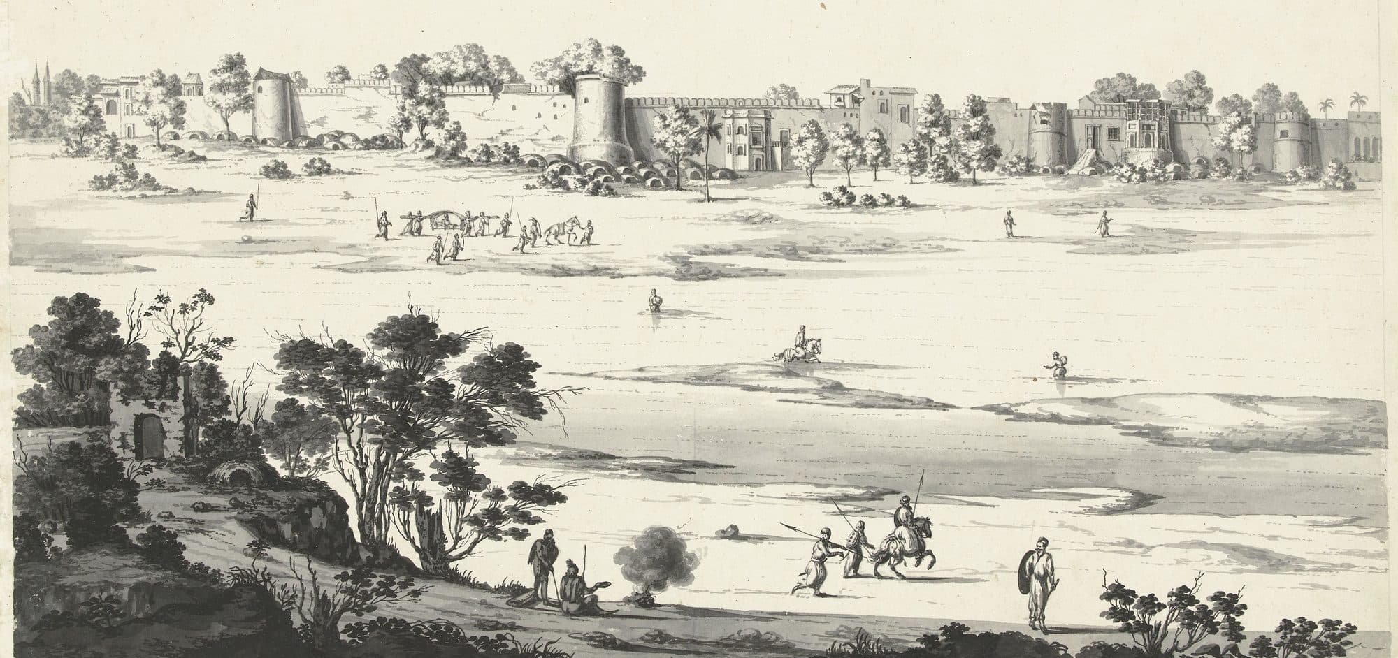
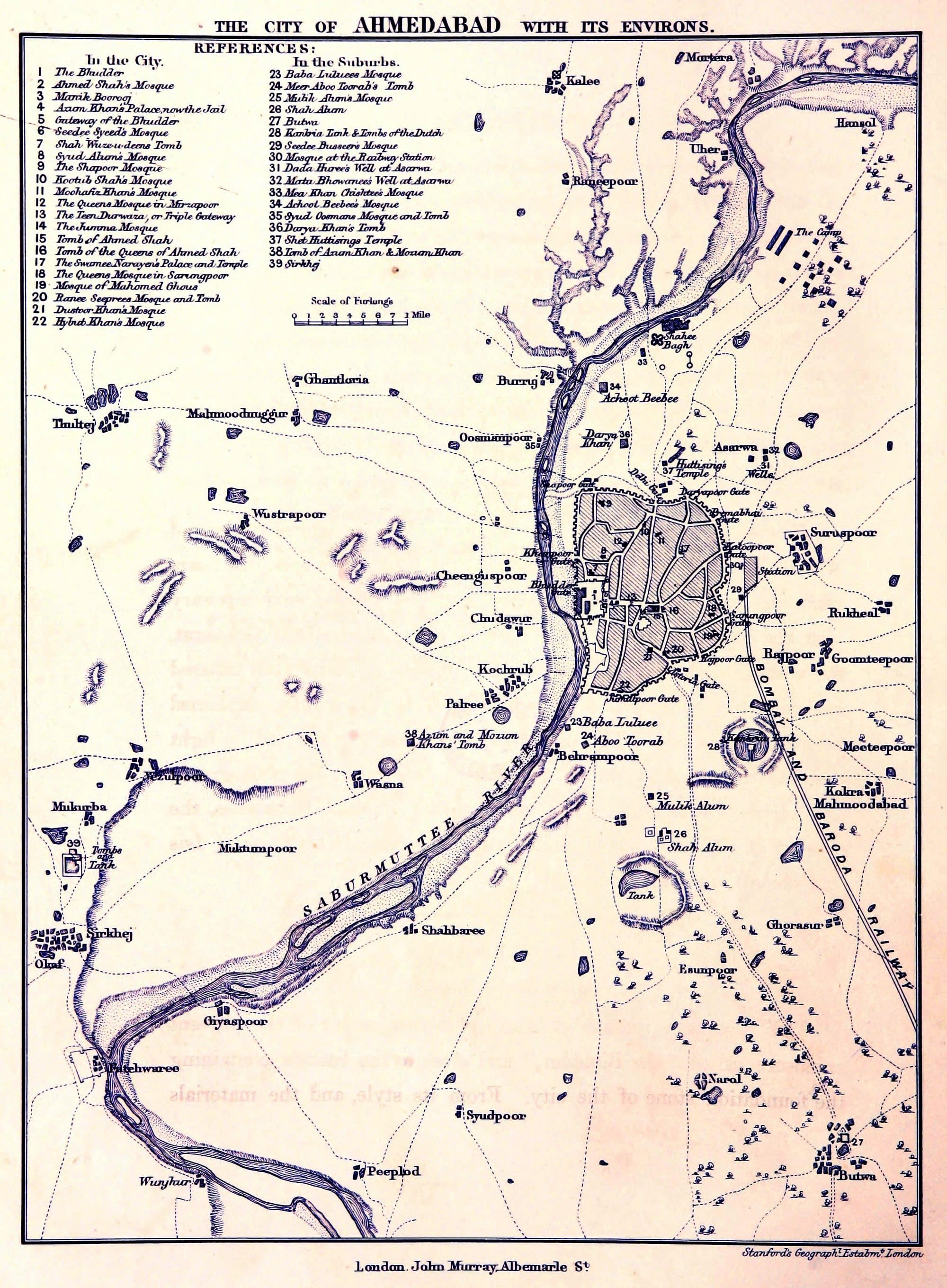
Ahmedabad was founded beside a river that, for most of the year, was hardly there. In 1879 the Bombay Gazetteer described the Sabarmati at the city as, except in the rains, “a thin stream of water in a broad bed of deep sand.” So for most of its history the city made its own water: a 34-sided tank, wells that step down to the water table, a cistern for rain under the courtyards of its better-off houses. In the twentieth century it pumped its aquifer. Since 2000 it has drunk from canals. By the municipal corporation's 2026-27 budget, 1,550 of the 1,850 million litres a day it draws come down the Narmada Main Canal, and the full river you see through the city is held by a barrage and topped up from the same canal.
The city that once kept its drinking water under its own courtyards now draws it from a dam on another river, and sends its used water down the one it was founded on.
A capital beside a thin stream
Ahmad Shah built on the high east bank of a seasonal river, and the oldest water story the city tells about itself is about topping that river up.
Sultan Ahmad I founded Ahmedabad in early 1411, on ground beside the older settlement of Asaval, on the east bank of the Sabarmati. The three sources that date the founding do not agree on the day, so we give the season. They agree on the place. The Mirat-i-Ahmadi, an eighteenth-century history of Gujarat, says the Sultan halted on the river's banks, found “the climate exhilarating”, and in consultation with the saint Shaikh Ahmad Khattu of Sarkhej chose “an open and spacious piece of ground in the vicinity of Asawal on the eastern side of the river”.
The choice was about water as much as air. The World Heritage nomination dossier prepared for the city in 2016 places the first fort “on one of the higher planes of the ravines”: a level plain raised above the riverbed that sloped down to the south-west and so “helped drain off the land the surface water”. Inside what became the walled city the ground falls from about 60 metres at its highest to about 48 near the Raikhad and Jamalpur gates, and the dossier says the streets were laid so that “they all acted as surface water channels leading the storm water towards the river”. The street plan was the drainage plan.
The river they drained into was mostly sand. Opposite the city, the 1879 Gazetteer gives a bed about 1,550 feet wide carrying a fair-season channel of only 375 feet. The Imperial Gazetteer of 1908 gives the same picture in yards: a bed “from 500 to 600 yards broad; but, except during occasional freshes, the width of the stream is not more than 100 yards”.
“Along the west of the town flows the Sabarmati, except in the rains a thin stream of water in a broad bed of deep sand.”
Which may explain the first water story the city tells about its founder. The same Gazetteer records that Ahmad “added to the Sabarmati's scanty stream by turning into it the waters of the Hathmati”. Elsewhere in the same volume it is more careful: the tale of an embankment that turned the Hathmati “is not supported by any contemporary records”. It is a legend, and we give it as one. It is still a telling legend. The first thing the city remembers its founder doing about water is adding to the river.
The walls that followed had twelve gates, and the 2016 dossier measures their line at 10.97 kilometres. What the city built next was built to hold the water the river could not be relied on to give.
A 34-sided reservoir
Forty years after the founding, the city built a tank that a nineteenth-century survey called probably the largest of its kind in India.
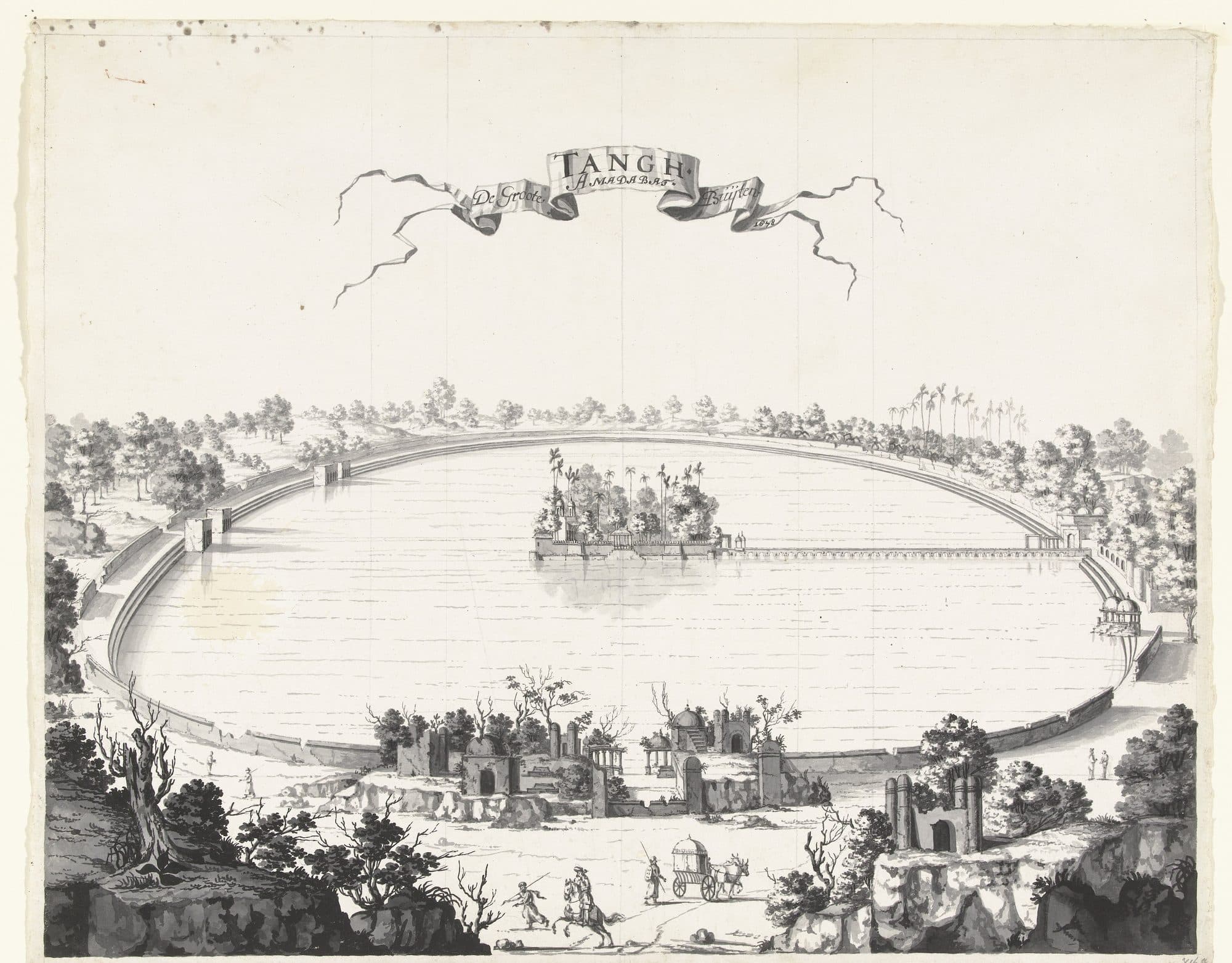
In 1451Sultan Qutb-ud-din completed the Hauz-e-Qutb, known today as Kankaria. When T. C. Hope and J. Fergusson recorded Ahmedabad's architecture in 1866 they described it as a regular polygon of 34 sides, each 190 feet long, covering 72 acres: “probably the largest of its kind in India”. On their figures the rim runs to about two kilometres.
It was engineered, not just dug. Tiers of cut-stone steps ran all the way round, with six sloping approaches, and the water came in through a carved inlet: two of Hope's plates are titled “The Supply-sluice” and “The Strainer of the Supply-sluice”, and the 1879 Gazetteer calls it “an exquisitely carved water sluice”. In the middle, reached by a viaduct of arches, was an island garden called Nagina with a summer palace. The Mirat-i-Ahmadirecords that under one Mughal viceroy “two pairs of oxen for drawing water and four gardeners were appointed” to keep the garden going.
The tank was not filled by the river. The Gazetteer traces its water to a stream that rises on the west of the Bokh, a natural depression, turned towards Kankaria and a second reservoir “by a dam near Kamod”. By 1781, it says, the approaches were in ruins, the bridge to the island had fallen in, and there was no trace of the garden or the palace. Restoration began in 1872 under the Collector, Mr Borradaile: the silt was cleared and the south wall and the island wall rebuilt. In 1879 a canal eleven miles long was proposed to bring in water from the Khari river, which the Gazetteer expected to “furnish a valuable supply of drinking water to the people of the south-east quarter of the town”.
The corporation took the lake up again in 2006. Its redevelopment, completed in December 2008 for Rs 36 crore, pedestrianised the lakefront along a 2.25-kilometre promenade, and the project note in HUDCO's best-practice compendium gives one of its reasons in a phrase worth keeping: the lake “represented a source of aquifer recharging”. In 2011, the same note says, it drew more than 1.18 crore visitors.
Wells you walk down into
At the turn of the sixteenth century the city's patrons built wells that followed the water table down, storey by storey, and the people who described them recorded where the water stood.
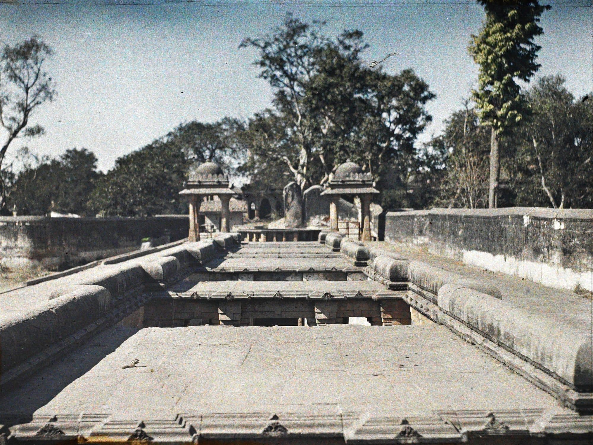
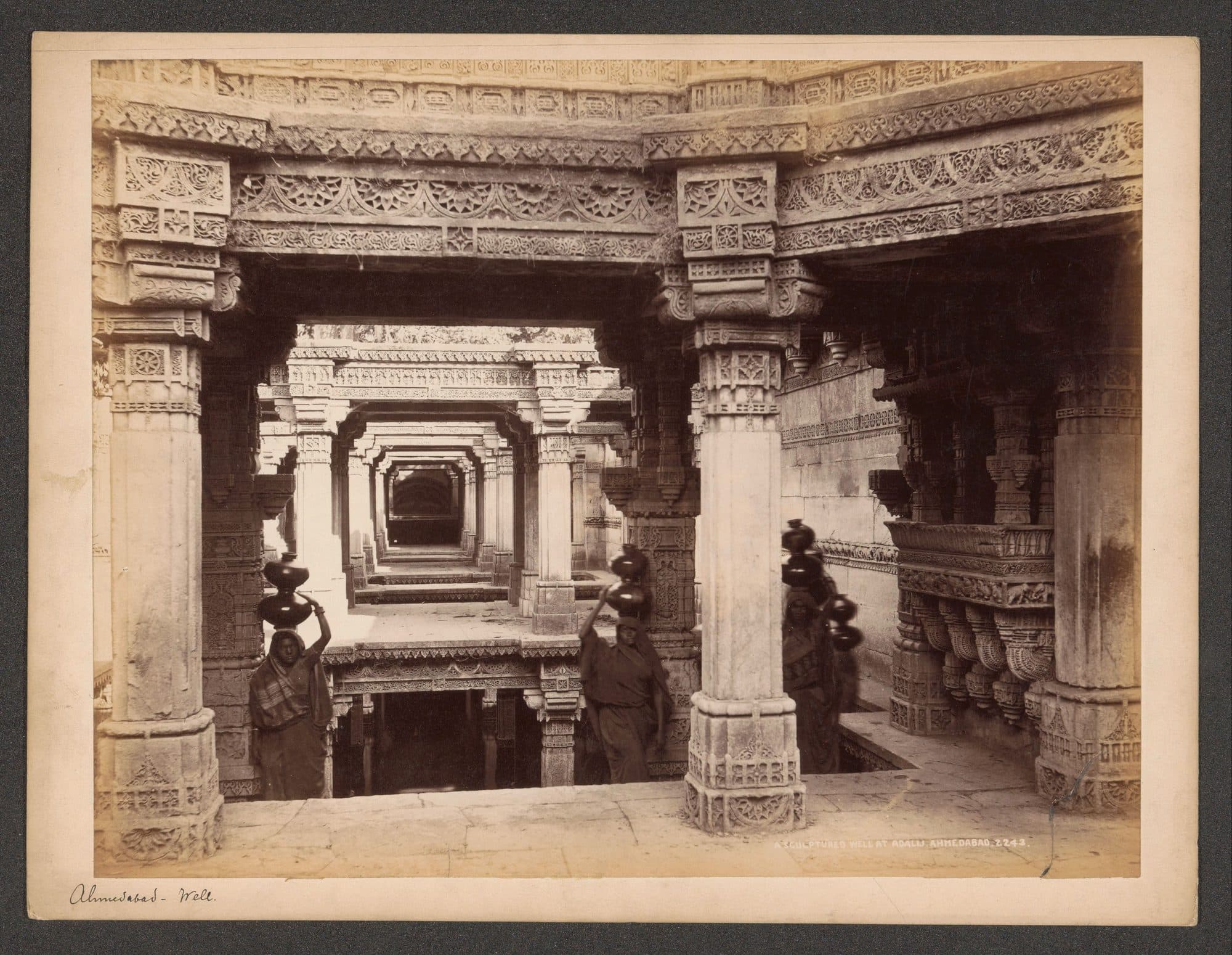
Dada Harir's stepwell at Asarwa dates itself, to 1499-1500. A Sanskrit inscription in the well is dated to December 1499 and names its builder as Bai Sri Harira, “the chief superintendent at the entrance of the royal apartments” under Sultan Mahmud; an Arabic inscription in the same well is dated November 1500. J. Burgess of the Archaeological Survey, in his 1905 account, measured it at 241.5 feet from the entrance pavilion to the draw-well, which is an octagonal shaft 14 feet 9 inches across and more than 40 feet deep.
The Arabic inscription says what it was for. In the Gazetteer's translation the work included a travellers' rest-house and “a well, and a pool of water for the use of man and beast”. These were public works on a trade route as much as they were monuments.
What makes the stepwells useful to a water history is that they were built to reach the water wherever it stood, and the people who wrote about them noted where that was. The Mirat-i-Ahmadi, written in the eighteenth century, calls Dada Harir's the most prominent of the city's wells “as regards solid structure and sweet water”, and adds: “Two storeys are always under water, except in famine times when one is dry.” Around 1900 Burgess found much the same: “Usually the water stands well up in the third gallery, the fourth being always submerged.” Two observers, about a century and a half apart, reading the same staircase as a gauge.
About twelve miles north of the city, at Adalaj, a Vaghela queen named Ruda, or Rudabai, wife of the chief Virasimha, built a slightly longer one around 1499; the sources read its inscription differently by a few years. Burgess measured it at 251 feet long, with a main shaft 17 feet across and a reservoir “fully 53 feet” deep from the top of its upper frieze.
A cistern under the courtyard
In 1879 the principal source of the city's drinking water was neither the river nor the wells. It was rain, kept under the courtyards of the better-off houses.
The Gazetteer is direct about it. Rain in Ahmedabad, it says, was used “to fill cement-lined cisterns, which, fed from the roofs by cement channels or iron pipes, are to be found in almost all the courtyards of the better class of houses, and form the principal source of the townspeople's drinking water”. Of Khadia, one of the old wards, it adds: “Inside of most two or more storied houses is a yard, and under the yard a covered reservoir with supplies of rain water for drinking.”
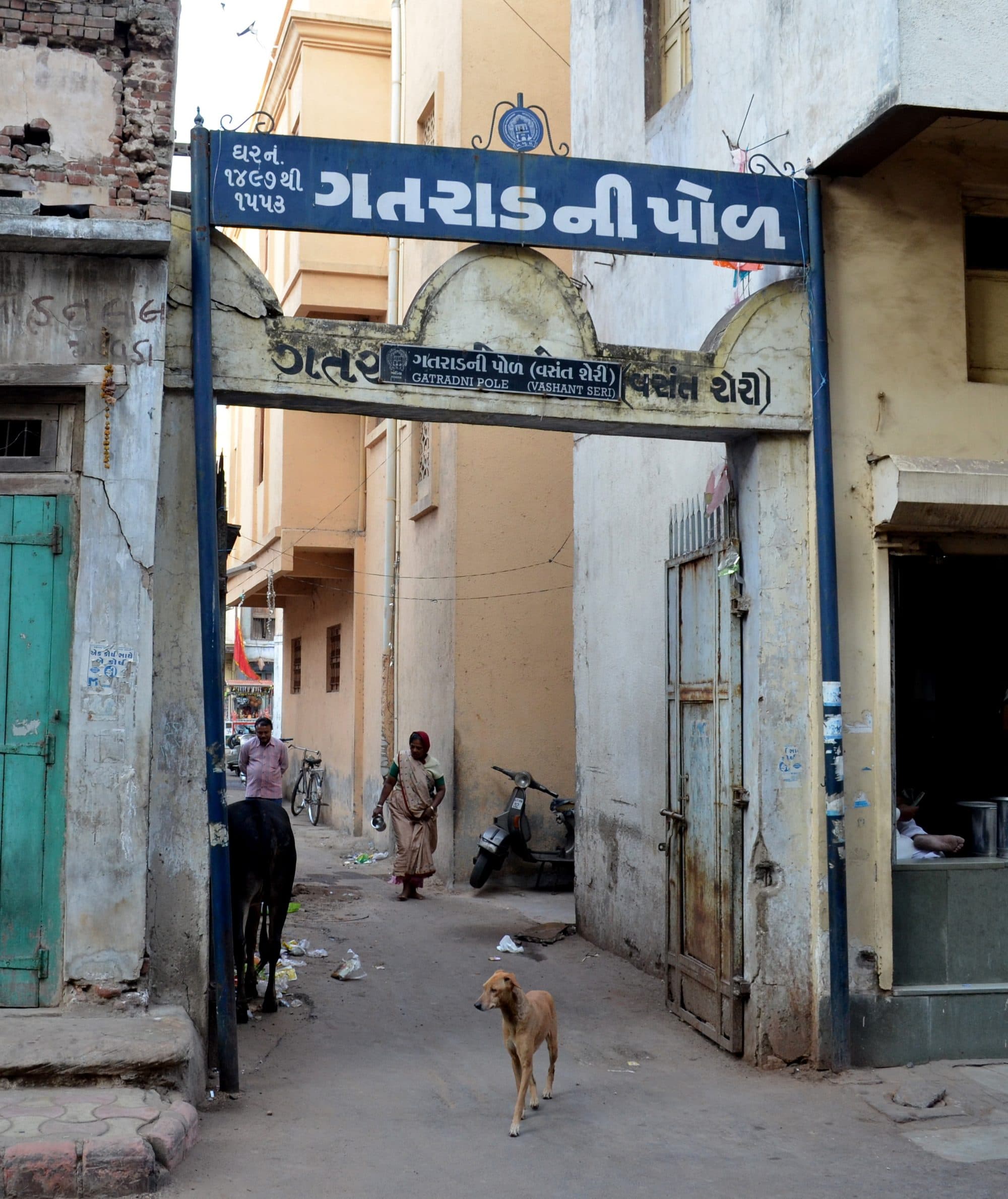
These cisterns are tankas, and the houses that held them stood in pols, the gated streets of the old city. The municipal count in 1879 was 356 pols: 275 main pols and 81 sub-pols.
The researcher Akil Amiraly, who with colleagues surveyed households in two pols in 2001-02 and returned in 2016-17, describes how they work. Water from the first rains is kept out, and so is water from roofs that people walk on. Rain runs off the roof through a gutter, sometimes through a cloth or a metal grid, into a chamber under the courtyard built of brick in lime mortar and plastered with lime. One opening serves for drawing water and for climbing in once a year to clean. The tankas he documents hold between 20,000 and 50,000 litres; a chamber two metres by two by five holds the smaller figure.
How many are left is a question with no answer. Published estimates run from about five thousand (the Ahmedabad Heritage Centre, 2004) to ten thousand (a literary magazine, 2001). Nobody has counted them.
What exists instead is evidence of how few still work. In the 2001-02 survey of 60 households in two pols, 10 had a working tanka, 32 had one that no longer worked, and 18 had none. The 2016-17 return visit recorded the abandonment of the working cisterns found fifteen years earlier. What replaced them was piped municipal water, which the corporation dates from 1891.
One gallon a day, and a flood twenty-two feet high
The colonial city's first piped water was a filtered trickle from the river, and its first bridge across that river lasted five years.
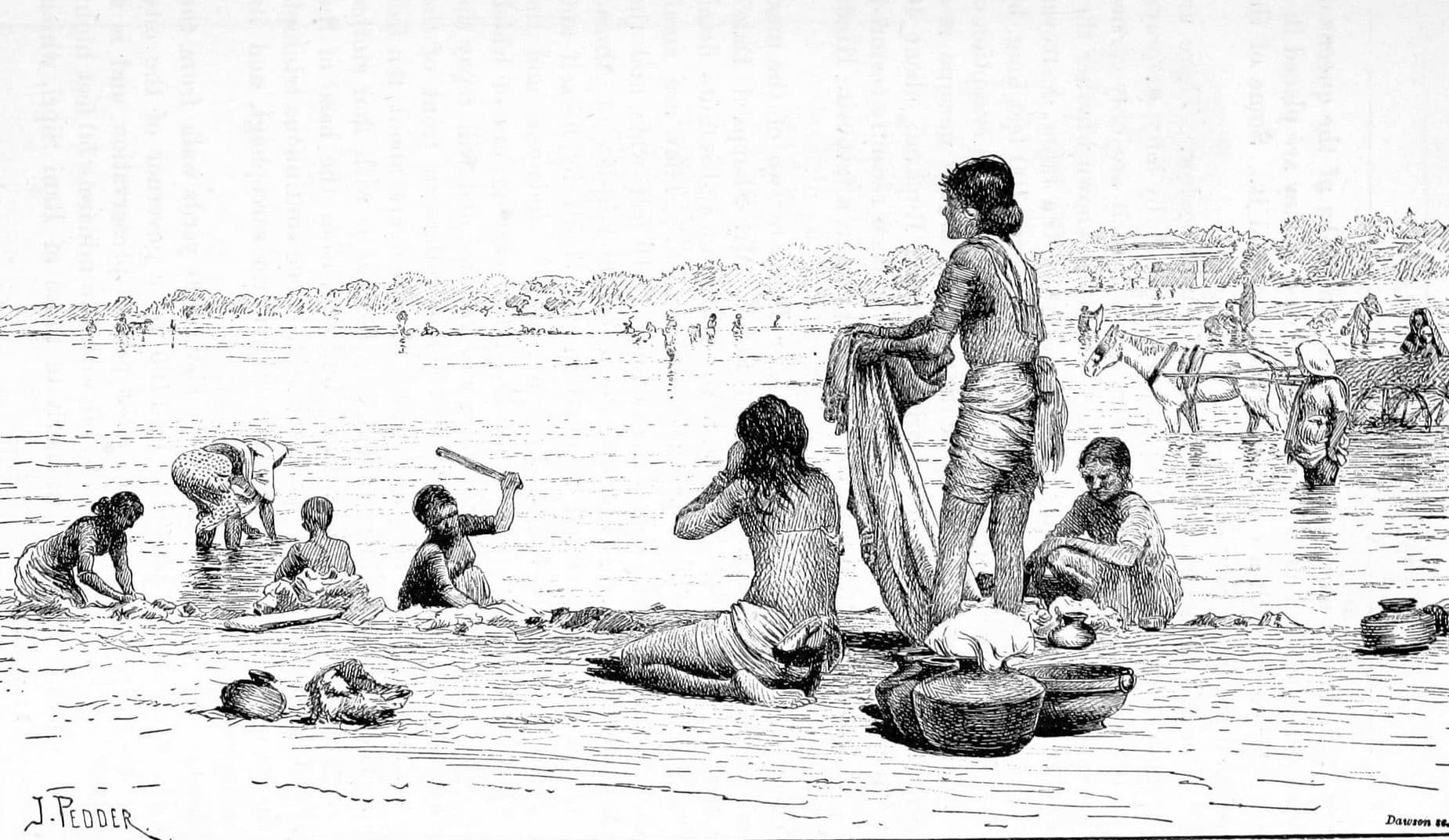
From about 1849the city pumped river water at its south-west corner into a tower fifty-two feet high, filtered it “through vegetable charcoal and gravel”, and carried it by an eight-inch earthen pipe to 17 iron standpipes and 10 masonry reservoirs. The Gazetteer's judgement in 1879 was that it yielded “not more than one gallon a dayto each of the people”, and that even after filtering it was impure. In the mid-1860s two steam pumps replaced the Persian wheels that had lifted the water, and they were worked only at night, because the river was “much disturbed during the day”.
The wells inside the walls were worse. Most had become, in the Gazetteer's words, “so brackish and impure as to be unfit to drink”, and it named the cause: there was no plan for taking the city's sewage away. It went into brick cesspools twenty to twenty-five feet deep that “often remain uncleaned for thirty or forty years”. Ahmedabad was drinking from the same ground it drained into.
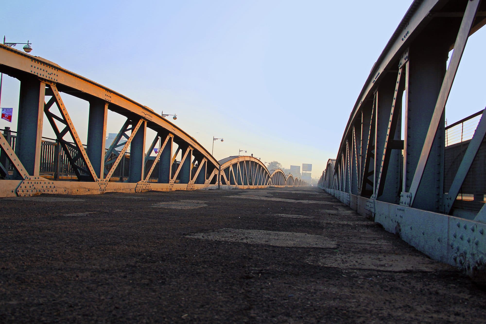
The river was also a barrier. In 1870 the city got its first bridge across it, named after Barrow Ellis, the Revenue Commissioner under whom it was designed: 23 spans of 60 feet, a roadway 40 feet wide carried on Warren girders, piers of wrought-iron screw piles, and a deck of four-inch planking. It cost Rs 5,49,210.
Water had broken into the city before. The Gazetteer records that the Sabarmati flooded it in 1714 and 1739, and that in 1755 the rain was so heavy that great breaches were made in the city wall. In 1868 twenty-seven inches of rain fell in four days, and local drainage and a very strong wind destroyed 9,566 houses, though the river itself did not flood. The Gazetteer calls the flood of September 1875 “the highest on record”. For the four days ending 23 September, Idar, the rain-recording station for the river's catchment, reported 21.25 inches. At noon on the 22nd the flood swept away the railway bridge three miles above the city. An hour later it was “breaking against the Ellis Bridge in eight feet high waves”. Over the next day and a half the bridge lost 20 of its 23 spans: eight at once, then one on each side, then eight more, then two.
At five in the afternoon of 23 September the river reached its peak, twenty-two feet above its ordinary summer level. That is the Gazetteer's figure, compiled from the records of the irrigation engineer, the district engineer and the Collector. Its own summary elsewhere gives about nineteen feet, the level its detailed account records for the evening of the 22nd. Twelve people died. Inside the city 3,887 houseswere ruined, valued at Rs 5,82,080, and the water covered “more than a third of the town”. Until at least 1879, passenger boats carried people across the Sabarmati in place of the bridge.
The Ellis Bridge that stands now is the second one. By the corporation's own heritage record it was built in steel in 1892 by the engineer Himmatlal Dhirajram Bhachech, with steel imported from Birmingham, at a cost of Rs 4,07,000; its first stone was laid by Lord Reay, Governor of Bombay, on 19 December 1889.
The same decades brought the city's first waterworks. Opened in 1891 and handed to the municipality the following year, it cost nearly 8 lakh rupees, 4.5 lakh of them from the government. Its head-works stood at Dudheshwar on the left bank, about 2,000 yards north-west of the city: four supply wells, a pump well and a high-level reservoir. The corporation dates its piped supply from 1891, and the Dudheshwar works, first opened in 1891, were rebuilt around 1950. Underground drainage was first laid in Khadia in 1890, and by 1906 the city had 28 miles of drains.
The river kept flooding. The 2016 dossier's timeline lists heavy floods in 1927 and 1973, and floods again in 2006. We have not found official figures for any of them in the documents we opened, so we give only the years.
Thirty years of drinking from under the city
From the late 1950s the river could not keep up, and Ahmedabad turned to its aquifer. By the corporation's own figures, groundwater was 87% of its supply through the 1970s.
The corporation's own account of the turn is short. The Sabarmati, its 2012 sanitation plan says, being a non-perennial river, gave too little water in the dry months, and “in late 1950s, the city shifted on ground water sources to cater the demand”. The same plan reproduces AMC's figures for groundwater's share of what it supplied: 87% in 1970-80, 61% in 1980-2000, 21% in 2000-06 and 10% in 2006-10. In 2001, with Mahi water already arriving but before the Narmada, a study working from AMC's numbers put production at 570 million litres a day, 270 of them from borewells, with 300 to 350 of the corporation's 410 borewells running on any given day.
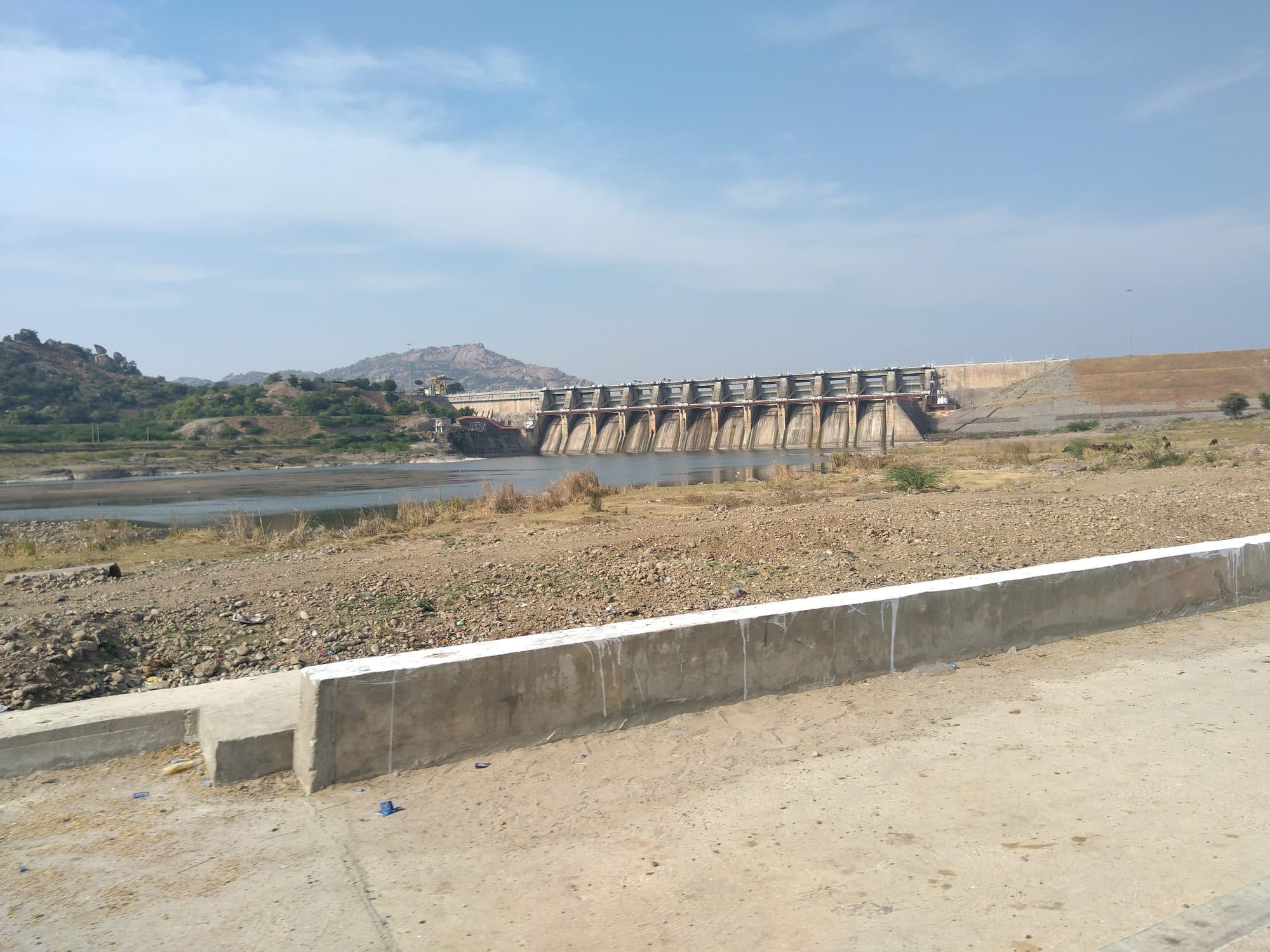
There was supposed to be a dam. Dharoi, on the upper Sabarmati nearly 160 kilometres from the city, was planned with Ahmedabad as a partner “for the purpose of assured water supply to the Ahmedabad city”, in the words of the state government's affidavit to the Gujarat High Court. In 1980 the government approved a cost split under which AMC's share of the head-works cost was 52.10%. The reservoir first filled in 1978, with a capacity of 907.832 million cubic metres at full reservoir level; by 2006 silt had reduced that to 813.137.
The same affidavit records what happened to the water. The reservoir filled and spilled only ten times between 1978 and 2010, and between Dharoi and Ahmedabad there were “very high losses nearly 24% to 87%” in different non-monsoon months. AMC had built a 650 MLD treatment plant at Kotarpur between 1983 and 1987 for Dharoi water; its own account says that water was not adequate, so the plant was not commissioned. By a letter dated 26 February 1998 the state cancelled Ahmedabad's partnership in the dam. From 1999 releases to the city stopped, and the Dudheshwar works and the French wells in the riverbed “became non-functional”.
The river's thin dry-season flow is older than the dam. The Gazetteer described it a century before Dharoi existed, and the state's affidavit says so plainly: “The Sabarmati river is not a perennial river.” What changed in 1999 is that the city stopped receiving any of Dharoi's water.
Meanwhile the aquifer fell. The Central Ground Water Board's 2021 aquifer report for Ahmedabad district records the deep confined aquifer under the city declining by 0.13 to 1.72 metres a year. At its piezometer in the Cantonment the water level was 60.28 metres below ground in 1987 and 98.15 metres in 2013; at Sola it went from about 63 metres in 1996 to about 100 metres by 2016-17. Nearer the surface, the same report finds the post-monsoon water table deeper than 40 metres in the eastern part of the city. In 1879 the Gazetteer had recorded well water across the district as “generally found at a depth of from thirty to sixty feet”.
The official assessments say the same thing in their own vocabulary. In 2011 the Board rated the City-Daskroi unit over-exploited, at a stage of groundwater development of 103.73%. In the latest national assessment (IN-GRES, 2025-26), Ahmedabad district as a whole reads semi-critical at 79.14%, while the unit under the city, Ahmedabad Urban, is over-exploited at 128.85%: it draws more each year than the assessment counts as extractable. That unit was only carved out in 2021-22, so its figures are not a trend with the older ones. What they share is the category.
The corporation now takes only 100 of its 1,850 MLD from its 555 borewells, and says it is planning to reduce its use of groundwater in the coming years. Private borewells appear in none of its figures.
Water from a dam on another river
Mahi water reached the city in 2000 and Narmada water in 2002. By the corporation's 2026-27 budget, the Narmada Main Canal supplies 84% of what Ahmedabad draws.
The first relief came from the Mahi. In April 2000 AMC commissioned the Raska project: about 300 MLD of Mahi water, diverted at the Vanakbori weir into the Mahi canal and its Shedhi branch, then pumped from the branch's tail end through 32 kilometres of 2,100-millimetre pipe to the Kotarpur works. It cost Rs 120 crore and, in AMC's words, was built “in record time of 150 days”.
The larger source had been planned for years. In 1991 the Narmada Control Authority set out how Gujarat's share of the river, 9 million acre-feet under the Narmada Water Disputes Tribunal's allocation, would be used: 1.06 million acre-feet of it was set aside for domestic, municipal and industrial use. The Narmada Main Canal crosses the Sabarmati a few kilometres upstream of the city on a syphon built between 1994 and 2001, and about 229 kilometres down the canal from Sardar Sarovar dam an escape structure lets canal water into the Sabarmati. A site report by IITRAM, a Gujarat state university, says it was built “to meet the requirements of irrigation, domestic and industrial water requirements mainly in Ahmedabad area”.
AMC's account of what came next is plain. The canal was aligned upstream of Kotarpur and the escape built “so that Narmada canal water was available in the river to pick up this water”. The Dudheshwar works and the French wells, out of use since 1999, came back into operation from August 2002, AMC says. The state's affidavit to the High Court puts it as “around 2002”. We have not found a document from the canal's operator or the state that gives an exact date for the first release, so August 2002 is AMC's date for its own works, not a date for the water.
Then the city built up its intakes. Intake wells at Kotarpur, drawing the canal water back out of the river, added 165 MLD in 2003 and 330 MLD in 2006. A 2,500-millimetre gravity line from the Narmada Main Canal to Kotarpur, laid in December 2006 and commissioned in January 2007, brought 330 MLD; a twin 2,000-millimetre line in 2015-16 brought 500 MLD more. For the new western city, a treatment plant at Jaspur on the canal's Dholka branch opened at 275 MLD in November 2006 and was raised to 400 MLD in 2014. Groundwater's share of AMC's supply fell to 21% in 2000-06 and 10% in 2006-10.
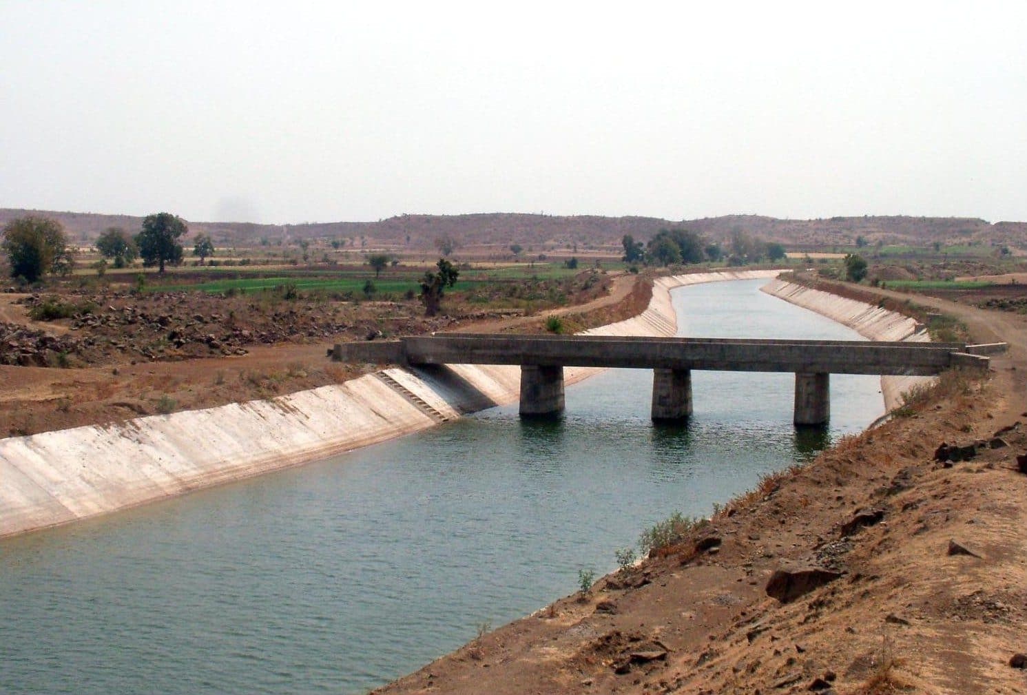
The corporation's 2026-27 budget gives the result. Of the 1,850 MLD it draws, 1,550 MLD, or 84%, comes from three offtakes on the Narmada Main Canal; 200 MLD comes from the Mahi through the Shedhi branch, and 100 MLD from borewells. AMC's water page lists the seven French wells in the Sabarmati at 0 MLD in use. AMC's own 2023-24 budget described the supply as two hours a day, from 6 to 8 in the morning, through unmetered connections.
On 14 October 2026 the Gujarat water department's daily report had Sardar Sarovar at 99.76% of its gross storage. How much of that water the city is entitled to is not stated in any public order we have found.
A river held between a barrage and a canal
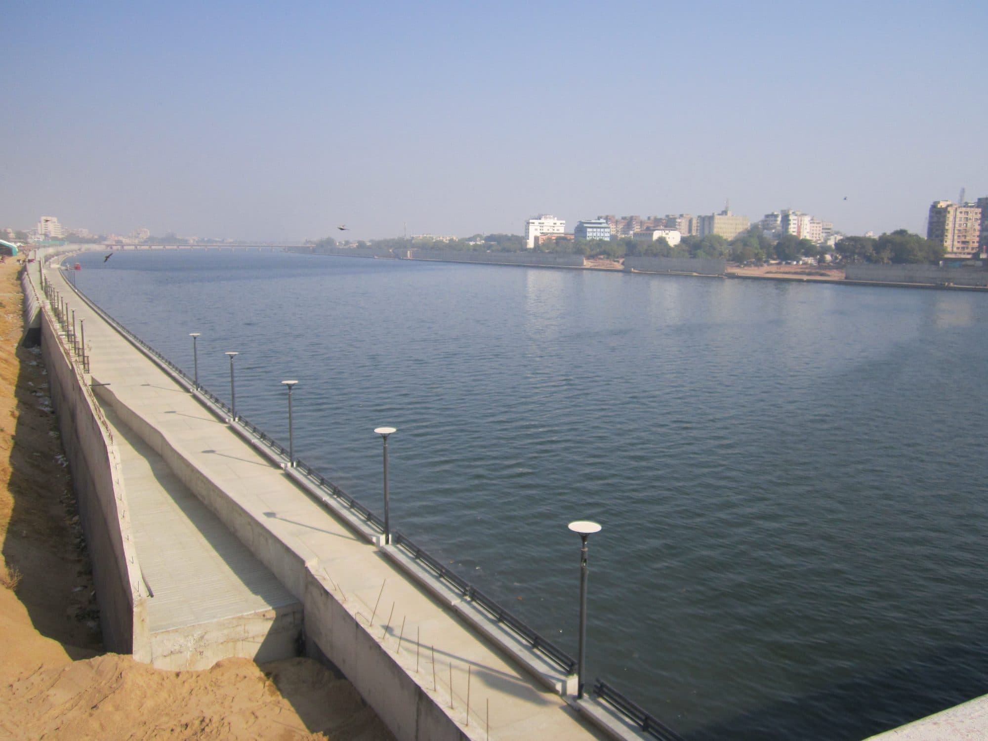
The Sabarmati through the city is now a reservoir about 15 kilometres long, held by the Vasna barrage below and replenished from the Narmada canal above.
Holding water in the river was an old idea with an old problem. In 1879 the Gazetteer described a proposed weir on the Sabarmati near the city that would water 79,500 acres and bring the city “a supply of much needed water”, at an estimated Rs 17,12,880. The chief difficulty was “the absence in the bed of the river of any solid foundation for the weir”. In the early 1960s Bernard Kohn, a French architect living in the city, proposed reclaiming about 30 hectares of riverbed; a hydraulic study by CWPRS found his proposal technically feasible in 1966. The state built the Vasna barrage below the city between 1972 and 1976. It holds 5.34 million cubic metres and feeds the Fatehwadi irrigation canal.
The present project starts in 1997. AMC set up the Sabarmati River Front Development Corporation Limited (SRFDCL), incorporated on 28 May 1997, and in May 1998 its consultants, the Environmental Planning Collaborative, delivered a proposal for the nine kilometres from Subhash Bridge to the Vasna barrage: embankments on both banks, 162 hectares of reclaimed land, a channel 275 metres wide and, among its listed features, “Retention of water in the river for the whole year”.
The same report worked out why that would need help. If the barrage were full on 1 August after a normal monsoon and then lost water only to seepage and evaporation, the pond would shrink month by month until:
“On 12th of January the river will be empty.”
Its conclusion was that “it will be necessary to periodically replenish the water in the river.” That is what was built. The 2016 dossier's timeline records the project as initiated in 2004. SRFDCL describes a river channelled to a constant width (263 metres on its website, 275 in its own 2015 presentation), about 202 to 205 hectares of reclaimed riverbed, and a two-level promenade along about 11.5 kilometres of both banks. Interceptor sewers twelve kilometres long on each bank pick up 38 sewage discharge points and carry the sewage to treatment plants south of the barrage, at Vasna and Pirana.
And the water is held. In SRFDCL's words, the barrage makes it possible to retain water “for 15 kilometers upstream, the entire length of the river within the city”, and the Narmada canal, crossing a few kilometres upstream, “makes it possible to replenish the barrage-retained water that is used up for irrigation or is lost to evaporation and seepage”. AMC's own 2022 environmental framework is plainer: “Sabarmati has no flow most of the days in a year. It receives required water to retain water at the city's riverfront for aesthetics and recreation.”
The riverbed was not empty land. How many households lived on it depends on which document you open: about 10,000 families in the 1998 proposal; 10,162 project-affected families in a HUDCO awards compendium; 11,736 households entitled to a house in SRFDCL's 2015 presentation, of whom 8,396 had been relocated by 30 August 2012; and about 14,500 households enumerated by the project's 2000-02 survey, as reported in an academic study (Desai, 2012). We do not pick one. Resettlement ran under the Gujarat High Court, in a public interest petition registered in 2005. The court closed it in November 2014, recording that everyone on both the corporation's and the petitioners' lists had been allotted alternative accommodation, provided they completed the formalities.
The held river is getting longer. Phase 2, upstream to Indira Bridge, received its environmental clearance on 17 February 2022. Phase 3, from Indira Bridge to the Narmada canal syphon, was cleared on 12 March 2025 at a project cost of Rs 1,000 crore. Its upstream end is the canal crossing itself: the riverfront is to run all the way to the canal that keeps it full.
Downstream of the promenade
Below the barrage the river carries what the city sends back, and the Central Pollution Control Board has listed the Sabarmati at Priority I in every edition of its polluted-stretch list since 2018.
Through the held reach the river measures low. In CPCB's national monitoring for 2024, biochemical oxygen demand (BOD, a measure of organic load) at the railway bridge in Ahmedabad ranged from 1.0 to 1.8 mg/l. At the Vasana-Narol bridge the range was 4.0 to 82.0 mg/l. At Miroli village it was 3.6 to 29.0, and at Vautha, after the Meshwa joins, 1.2 to 23.0.
AMC's 2022 environmental framework calls the stretch from Vasna to Vautha “the critical stretch”, carrying pollution that is diffuse and not fully attributed to the city's treatment plants. It also records two facts that explain the numbers. The river has no flow most days, and “dilution of pollutants due to river water / flow happens only during monsoons”. And the riverfront's interceptors do not take everything: “excess quantity of sewage from interceptor is discharged into river through an outlet after Vasna barrage”. A 2022 outfall survey, filed by the Gujarat Pollution Control Board with the National Green Tribunal, measured the bypass from a single pumping station near the Vasana-Narol bridge at 284.18 MLD, with an average BOD of 93.75 mg/l.
CPCB's list of polluted river stretches has carried the Sabarmati at Priority I, the first of its five classes, in all three editions: in 2018 as “Kheroj to Vautha”, with BOD from 4 to 147 mg/l; in 2022 as “Raysan to Vautha”, with a maximum of 292 mg/l at the Vasana-Narol bridge; and in CPCB's updated version of October 2025 as “River Sabarmati from V.N. Bridge to A/C with Vathua”, with a maximum of 105 mg/l. Each edition draws the stretch differently and uses different years of data, so the three numbers are not a trend. The class is the constant.
The Gujarat High Court took up the river on its own motion in 2021. On 14 September 2021 it set up a Joint Task Force, and nine days later it directed that “there should be no discharge of untreated waste water in the Sabarmati river from either of the outfalls” reported to it. By December 2021, AMC reports, the task force had disconnected more than 380 industrial connections to the sewers. In August 2024 the court directed the parties to work towards “zero discharge of Industrial wastewater in the river Sabarmati”.
Twenty kilometres downstream, at Miroli, the case reached the people who use that water. The court recorded that members of a cooperative society there said they were “officially drawing sewage-cum-industrial effluent and irrigating their fields”. Its counsel said the society had been set up almost fifty years earlier, with the Collector's permission to draw water from the river, that the water served three villages, and that the water in their old borewells had receded until the wells were “almost defunct”. The court directed the society to have its members revive those borewells, with the water tested by the pollution board before use, and directed that “no farmer/person/entity shall be allowed to draw chemical effluent water for irrigation/agricultural purpose”.
East of the city runs a second waterway with a similar arc. In 1868-69, the Gazetteer says, a cut from the Khari river at Raipur was begun as a famine relief work and stopped once the famine passed. Between 1878 and 1881 the Khari Cut was built, “designed to irrigate Ahmedabad lands and to fill the Chandola lake, three miles south of Ahmedabad”, in the words of a Bombay High Court judgment quoted in a 2020 committee report to the National Green Tribunal. That report gives it a length of about 80 kilometres and a planned command of about 10,200 hectares in 110 villages.
By 2020 the canal took its water from the Narmada Main Canal at Muthia, and the committee found that it “remains by and large dry after the month of April however, the canal is used for sewage/trade effluent and waste”. In about 11 kilometres inside the city it counted 169 outletsinto the canal, 56 of them discharging untreated sewage or effluent on the day of inspection; officers of the Irrigation Department told it that “no permission is granted for any outlet in the canal”. AMC's framework notes that the canal drains to the Khari river, and CPCB's 2018 list put the Khari from Lali village to Kashipura at Priority I, with a BOD of 235 mg/l.
The cistern made the list; the river stayed outside the line
UNESCO's 2017 inscription names the pol house's own water supply as part of what makes the walled city outstanding. The same file records the argument that the river was never really part of the city.
In July 2017 the World Heritage Committee inscribed the Historic City of Ahmadabad: the walled city, 535.7 hectares inside walls 10.97 kilometres long, with a buffer zone of 395 hectares, under criteria (ii) and (v). Water is in the inscription itself. Under criterion (v), the Statement of Outstanding Universal Value says:
“The house is a self-sufficient unit with its own provisions for water, sanitation and climatic control (the court yard as the focus).”
That provision is the courtyard cistern: the nomination dossier says the central court of the house “was the main climatic feature with its own rain water storage system”. It lists “the water structures associated with settlement planning of historic times” among the attributes of the historic town, and it photographs the chinni, a narrow alley between rows of houses “for ventilation & rain water evacuation”. The inventory in the dossier counts 2,247 domestic buildings of heritage value and 449 institutional ones. ICOMOS, the advisory body that evaluated the nomination, described pol houses as containing “courtyards, water storage systems and richly embellished façades”, asked for more on the “role of water structures in the historic functions of the city”, and said the case under criterion (v) needed clearer treatment of “water management and other traditional characteristics”.
The river is another matter. Defending a buffer zone drawn along the new riverfront edge, India, the nominating State Party, argued, in ICOMOS's summary, “that in the past there was little direct connection between the historic city and the river, and that the river bed offered panoramic horizons for the historic city as the river remained dry for much of the year”. ICOMOS pointed to an older connection: at Ganesh Bari gate, at the south-west corner of the fort, “water was lifted from the river to the fort by water wheels”. It noted that high-rise buildings appeared to separate the property from the river, recommended that the western boundary be extended “to re-establish the historic connection of the Historic City of Ahmedabad to the river”, and recommended that the nomination be deferred. The Committee inscribed it in July 2017. The integrity statement in the inscription records that “the hydrology and natural features have been subjected to changes due to progressive implementation of infrastructure by the local authorities”.
Both statements are on the record, and between them they hold the city's water history: a house that kept its own rain, beside a river that for most of the year was sand. The house's own water supply is now written into a World Heritage inscription, and the one survey that went back to the cisterns found the working ones abandoned. The river is full, with water carried from Sardar Sarovar and held by a barrage, and below the barrage it is a Priority I stretch. The aquifer that carried the city between the two is over-exploited.