The city named for a small stream, and the river from Madhya Pradesh that now fills its taps
Last revised October 2026. A long-read companion to the live dashboard and facts page. Dashboard - Facts
Nagpur is named for a small stream. In 1908 the Imperial Gazetteer put it plainly: the city “stands on a small stream called the Nag, from which it takes its name.” It kept its water in tanks built on the streams around it under the Bhonsle rajas, and its first pipes ran by gravity from one of those tanks in 1873. Gorewada followed in 1911 and the Kanhan river after it, each added, in the 1966 Gazetteer's account, because the supply before it was inadequate. From 1982 came the Pench, a river that rises in Madhya Pradesh. By the corporation's own figures for 2023-24, four of its five treatment plants run on Pench water and the fifth on the Kanhan, 786 million litres a day of capacity between them.
A city named for a stream now drinks from a river shared with another state. The stream it was named for carries the city's rain away to the Kanhan, and the corporation's environment report records its pollution rising as it crosses the city.
A small stream called the Nag
Two gazetteers sixty years apart describe the site the same way: a small river, and a city named for it.
The present city was founded at the beginning of the eighteenth century by the Gond Raja Bakht Buland, and later became the capital of the Bhonsle rajas. Both the Imperial Gazetteer of 1908 and the Maharashtra State Gazetteer of 1966 begin their description of the site with the river. The 1966 edition describes a city in “comparatively level country” on the banks of “the small Nag river from which it has taken its name”, and adds: “The site is low but well sloped and to the west and north there are ridges of steep basaltic rock.”
That is all the documents say about the name. A popular explanation, that the river is named for its winding, snake-like course, appears in none of the official or scholarly sources we read, so we leave it out.
A draft of NMC's 2017-18 environment report, prepared by CSIR-NEERI (we read a copy hosted outside NMC's website), traces the Nag to “the limestone rocks of lava near Dabha”, and notes that the overflow of Ambazari lake “also joins the river Nag”. The same report has the Pili beginning in the overflow of Gorewada lake, and the Pora rising near Hingna and taking the overflow of Sonegaon lake. Each of the city's three rivers takes water from a tank.
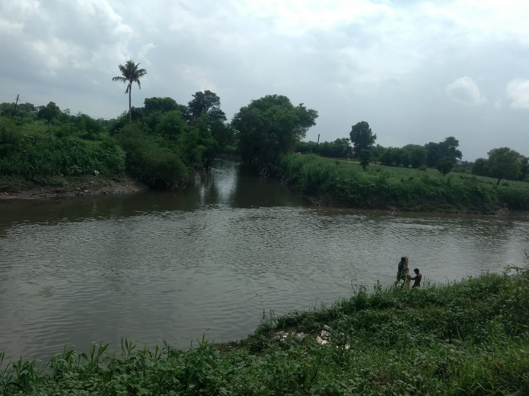
NMC's 2023-24 report gives the rest of the course. The Nag “flows through the city for 17 km, following the natural slope of the landform to merge with the Kanhan River”; the Pili runs east for 18 km inside the city limits and meets the Nag near Pawangaon; the Pora flows south-east. In the 1966 Gazetteer's words, the Kanhan, “after receiving the Nag river near the hills of Bhivakund, finally empties itself into the Wainganga at Gandpipri in Bhandara.”
The Bhonsle tanks
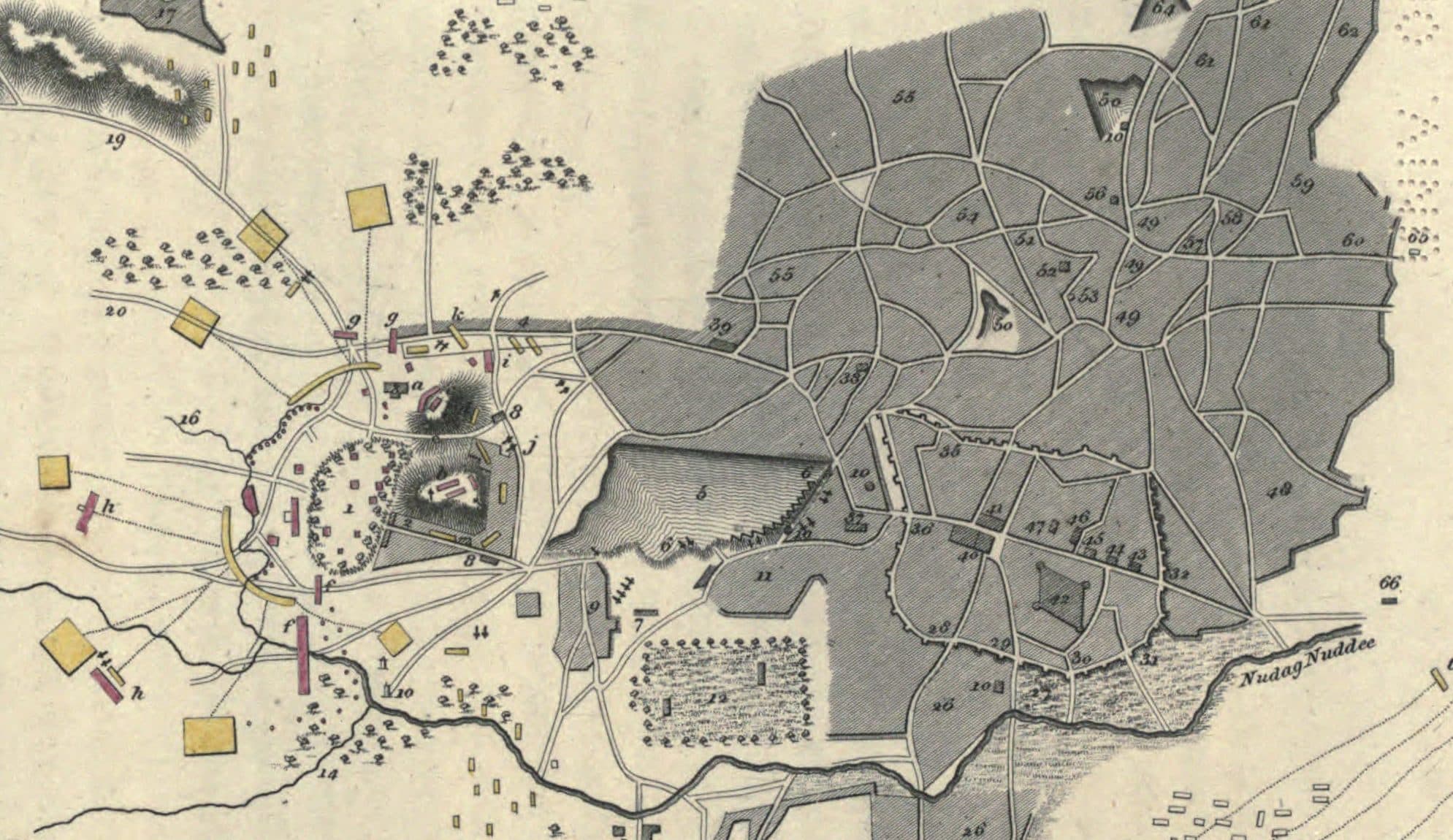
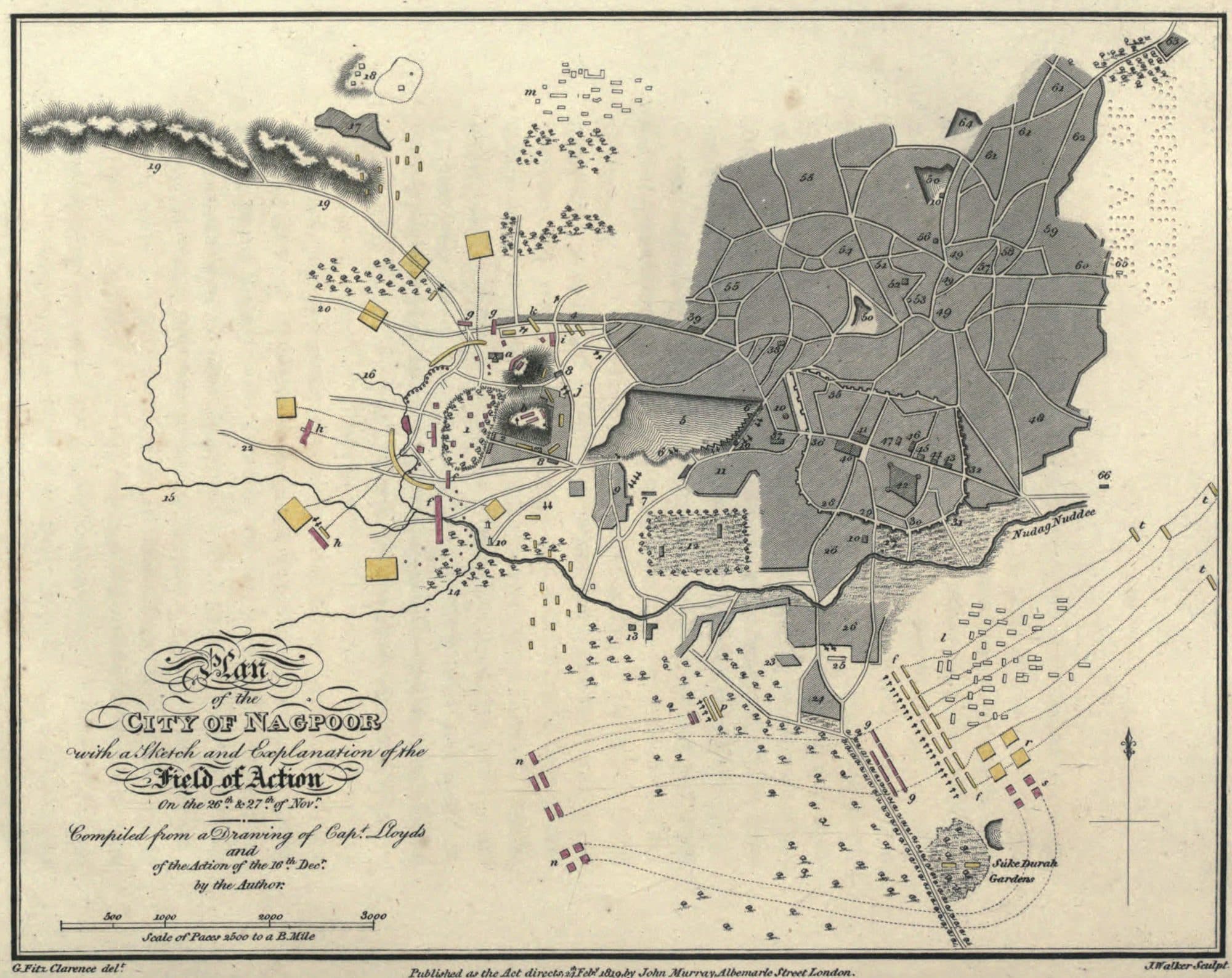
Before any pipe, the city kept its water in tanks. An officer who passed through in 1818 marked two of them at the head of streams running to the Nag, and drew a third between the hills and the city.
In November and December 1817 the battles of Sitabuldi and Nagpur were fought here. Early in 1818 Lieutenant-Colonel George FitzClarence, ordered home overland to England with the despatches, stopped at Nagpur and described the view from the hill at Sitabuldi. “A magnificent tank, called the Jumma Talao, about three quarters of a mile long, extends from the suburb of the city” to the foot of the hills. Further on he gives its breadth too: “about three quarters of a mile long, and four hundred yards broad”, roughly 1.2 kilometres by 370 metres on our conversion.
His book, published in London in 1819, carries a plan of the city. The river along its southern edge carries a name ending “Nuddee”, the old English spelling of nadi, a river. The key marks “5 The Jumma Talao” and “6 The dam of the Jumma Talao”, and two of the streams that run into the Nag: “14 A small nullah, its source at the Ambajeree tank, four miles distant” and “15 A small nullah, its source at the Telinkoree tank cantonments.” Ambazari and Telankhedi, in other words, were already there, with streams running from them to the Nag.
Ninety years later the Imperial Gazetteer gave the tanks their place in the city's history.
“The two fine reservoirs of Ambajheri and Telinkheri to the west of the city, the Juma talao (tank) between the city and the railway station, and the Maharajbagh and Telinkheri gardens form worthy monuments of the best period of Bhonsla rule.”
The 1966 Gazetteer calls the Jumma Talav “a large rectangular lake built by the Bhosles and improved in later years”, with a garden and a small temple in the middle; elsewhere in the same volume it is already listed as Gandhi Sagar. It describes Telankhedi as “an old tank situated on the outskirts of Nagpur city”, whose water by then irrigated about 34 hectares of the Government Agriculture College farm and the Telankhedi garden.
None of these older documents names an individual builder or a year for any of the three tanks; they credit the Bhonsle period. One date is now on the judicial record. In 2025 the Supreme Court, deciding a case about Futala lake, “also known as Telangkhedi Tank”, recorded that it “was constructed in the year 1799 by Shri Gyanoji Bhosale”, as the petitioner had pleaded before the High Court. We found it in no older source, so we give it as the court's record. For Ambazari and the Jumma Talao we give no individual builder and no year.
1873: water by gravity, then drains
In 1873 the municipality raised the old Ambazari tank and piped its water into the city by gravity. Within thirty years the imported water threatened to waterlog the city, and drains followed the pipes.
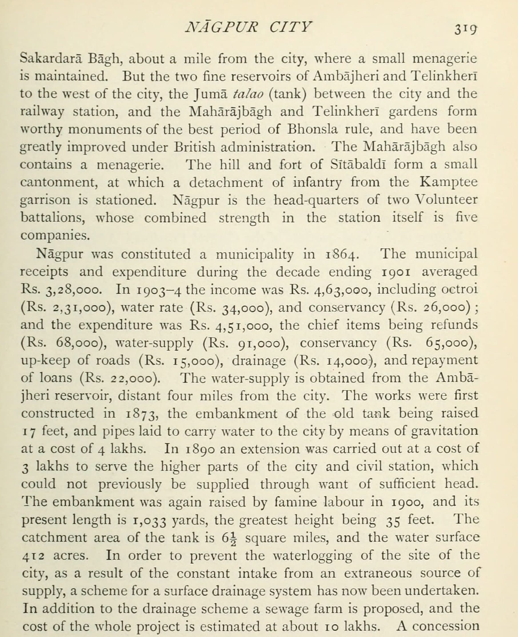
Nagpur became a municipality in 1864. Its first waterworks, in the Imperial Gazetteer's account, took water from the Ambazari reservoir, four miles away: “The works were first constructed in 1873, the embankment of the old tank being raised 17 feet, and pipes laid to carry water to the city by means of gravitation at a cost of 4 lakhs.” In 1890 a further Rs 3 lakh extended the supply to the higher parts of the city and the civil station, which the first pipes could not reach “through want of sufficient head”.
The famine of 1899-1900 raised the tank again. Relief works deepened Ambazari, Telankhedi and the Juma Talao, and famine labour raised Ambazari's embankment in 1900. By 1908 it was 1,033 yards long and 35 feet at its highest, over a catchment of six and a half square miles, with a water surface of 412 acres.
The dates need a word. The Central Water Commission's national register of large dams gives Ambazari's year of completion as 1870. Both gazetteers date the city's supply from it to 1873, and the 1908 one says the works raised an “old tank”. We read the register's year as the date it records for the dam and 1873 as the year the water reached the city. The tank itself is older than both.
The same paragraph of the Gazetteer records what the new water threatened to do to the city it arrived in.
“In order to prevent the waterlogging of the site of the city, as a result of the constant intake from an extraneous source of supply, a scheme for a surface drainage system has now been undertaken.”
A sewage farm was planned alongside the drains, and the Gazetteer puts the cost of the whole at about Rs 10 lakh, more than the waterworks and their extension together. The municipal accounts it prints for 1903-4 show the two sides of the same system: Rs 91,000 spent on water supply and Rs 14,000 on drainage. Water brought in from outside had to be taken out again.
Gorewada, then the Kanhan
Each new source came because the last was not enough. By about 1960 the city drew on two tanks and a river, a little over 60 million litres a day between them.
The 1966 Gazetteer sums up the next half-century in a sentence: “The water-supply from Ambazari lake, first brought to the city in 1873 and since then from time to time enlarged, was inadequate to meet the demand and hence the waters of the Gorevada tank and the Kanhan river had to be tapped.”
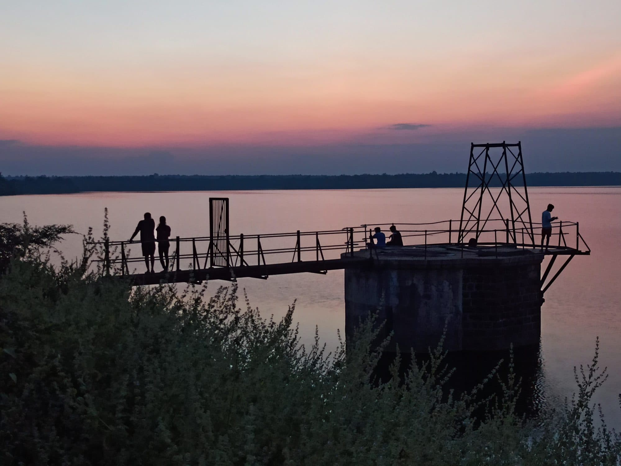
Gorewada came first. It was built in 1911, an earthen bund across the Pili north-west of the city, with a catchment of about 11 square miles. Around 1960 the Gazetteer has it supplying 18.2 million litres a day through three filters beside the reservoir, while Ambazari, which it calls “perhaps the oldest” of the city's tanks, gave a little over 10.
The Kanhan came next, and grew in stages. The 1966 Gazetteer describes a masonry barrage with ten openings of 30 feet, works inside the Kamptee cantonment, six rapid gravity filters, and over 34 million litres a day drawn from them, with a second stage to take that to 68. NMC's own account, in the draft of its 2017-18 environment report, dates the intake to 1940 at 27.3 million litres a day, a barrage of 7.82 million cubic metres to 1956, and augmentations to 63.6 million litres in 1954, 86.3 in 1966 and 109 in 1970. The two do not line up: the Gazetteer, with figures from around 1960, treats 68 million litres as a stage yet to come. We give NMC's series as NMC's account.
Added up, the Gazetteer's three draws come to about 62 million litres a day (our sum) for a city of 6,43,659 people at the 1961 Census: a little under 100 litres a person a day, before any losses (our arithmetic). The used water was the other half of the system. The corporation was building underground drainage estimated at Rs 159 lakh, and “big open nullas” to keep the city clear of “filthy water and refuse”, and sewage was used to grow crops on about 60.7 hectares.
A river shared with Madhya Pradesh
Since 1982 the city has drawn on the Pench, a river that rises in Madhya Pradesh and is shared with it under an agreement signed in 1964. Today it feeds four of the five treatment plants.
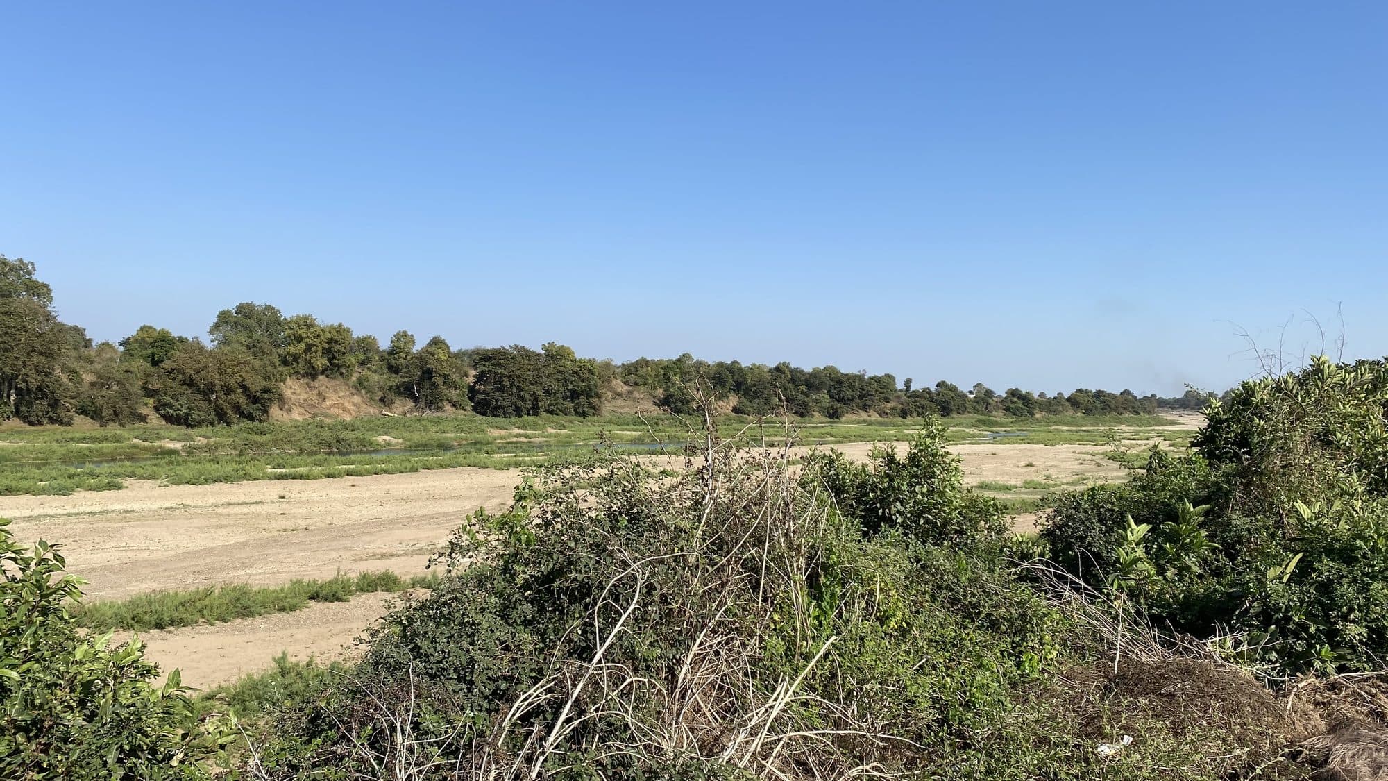
The Pench and the Kanhan, “both of which flow down from the Satpuda range in the Chhindwada district” in the 1966 Gazetteer's words, meet near Kamptee, where the Kolar joins them too. Chhindwara is in Madhya Pradesh. So the river that now supplies most of Nagpur's water is a river from another state.
The terms were set on 8 March 1964 at Bhopal. In the analysis of the Maharashtra Water Resources Regulatory Authority (MWRRA), the agreement takes the run-off to the Totladoh dam site as about 60 thousand million cubic feet (TMC); “the MP is allowed to utilise 35 TMC in its territory leaving behind 25 TMC for Pench Hydro Project”, and with return flow from irrigation in Madhya Pradesh, about 30 TMC of yield was used to design the project. The Authority adds that Madhya Pradesh has since built projects to use its whole share, so that “Maharashtra is not likely to get more water than its own share.”
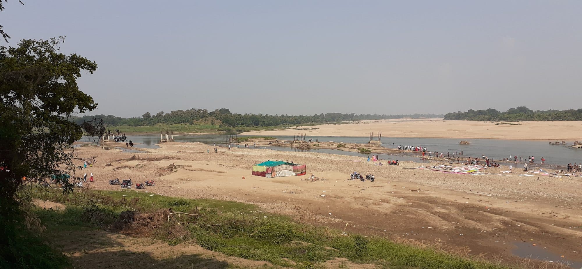
The city's part came a year later. In NMC's submission to the Authority, a state letter of 29 March 1965 approved a reservation of 112 million cubic metres (Mcum) a year for the corporation. Two dams hold the river on the Maharashtra side: Navegaon Khairi, completed in 1976, and Totladoh, at the state border, completed in 1989. CWC's register lists Totladoh's purpose as hydro-electric power and Navegaon Khairi's (as Kamthikhairy) as irrigation; the city's share is one of the uses written into the project's water plan. NMC dates its own Pench treatment schemes to 1982, 1984, 2003 and, for the fourth, 2018.
A further 78 Mcum a year was sanctioned on 21 March 1998, in the Authority's own finding (the petition prints 31 March), as a temporary reservation to 2005. A state order of 12 February 2008 converted it to a permanent reservation on conditions that the Authority found “yet to be satisfied”. The project officer told the Authority that at a meeting on 25 August 2010 the state's water resources minister ordered the temporary reservation to continue “until further orders”. The Authority's 2018 order held that, because it was granted before 17 September 2010, the additional reservation “is intact as on today” and “can't be set aside”.
On 19 March 2020 the state's water resources department re-planned the Pench project's water use in two stages. The corporation's share goes from the 112 Mcum of the original plan to 190 Mcum once lift irrigation schemes in the Pench command are working, and to 341 Mcum once the Lohghogari tunnel scheme is working as well. The shares of the Koradi and Khaparkheda power stations fall from 67 and 60 Mcum to 10 each.
The corporation's 2023-24 environment report describes the system that results. Five treatment plants, with 786 million litres a day of capacity: Pench I (136), Pench II (175), Pench III (120) and Pench IV (115), and the Kanhan plant (240). Most of the water, the report says, comes from the Pench dam. In 2023-24 the city was supplied 706 million litres a day, and 410 of them were billed; the report puts the “loss of water” between source and consumer at 41.91%.
What the tanks became
None of the old tanks is on NMC's list of treatment plants today. They are lakes the city lives beside, and the stream that named it carries the city's rain away to the Kanhan.
NMC's 2023-24 list of treatment plants has five, four on the Pench and one on the Kanhan. Neither Ambazari nor Gorewada is among them. CWC's register lists both, with their 1870 and 1911 dates, under irrigation. The corporation's environment report now samples them as lakes: in its 2023-24 edition Gorewada reads as low in nutrients, and Ambazari and Gandhisagar, the old Jumma Talao, as moderate in nutrients.
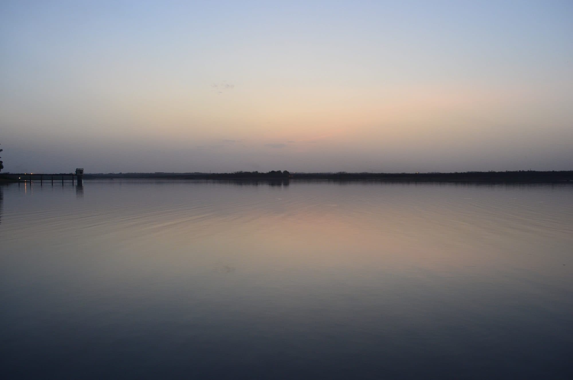
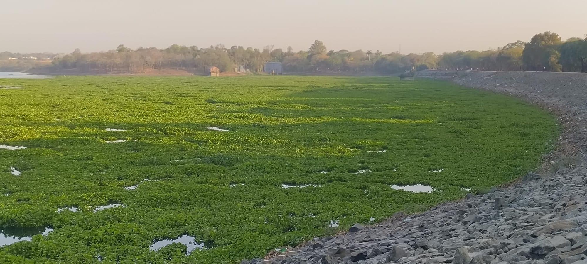
Ambazari is a dam as well as a lake. On 23 September 2023, the district's disaster management plan records, torrential rain between midnight and dawn sent Ambazari lake, the Nag, the Pili, the Pohra (Pora) nala and local drains over their banks, and water entered homes in many parts of the city, above all the low-lying ones. In January 2024 the corporation gave administrative approval for the design of gates on Ambazari's spillway, a work the Irrigation Department estimated and technically sanctioned, which the resolution describes as being for the dam's safety. In July 2024 it approved clearing the water hyacinth spreading over the lake, which its resolution calls very necessary for the lake's safety.
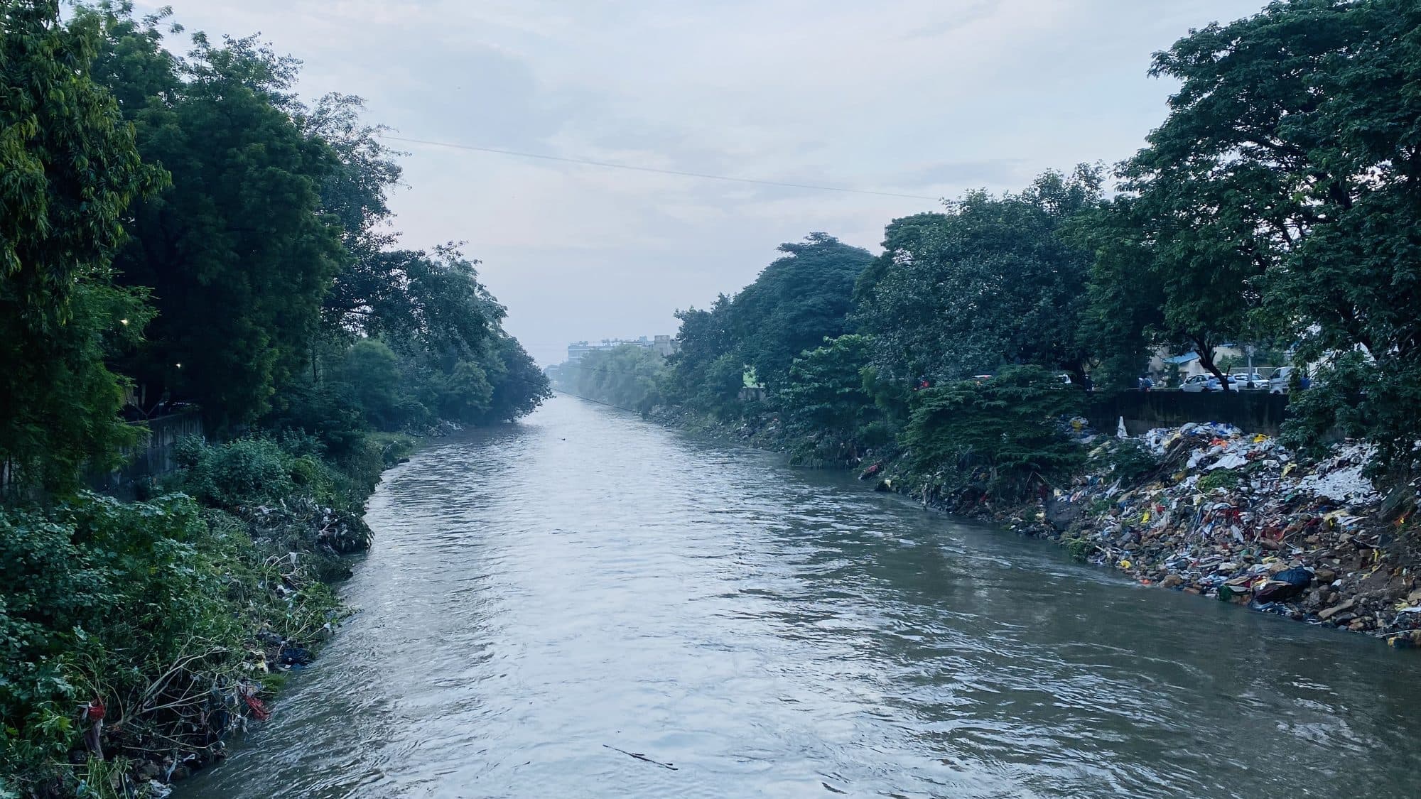
The Nag is the way out; the 1966 Gazetteer already wrote that the city “has a fair natural drainage in the Nag river”. In 2023-24, by NMC's figures, there was about 520 million litres a day of sewage, which the report estimates as 73% of the water supplied, and 403.5 million litres a day was treated at 12 plants. The same report finds that as the Nag “flows through the city, the pollution load goes on increasing”.
The city's tanks were part of a wider country of tanks. East of Nagpur, the 1966 Gazetteer says, the land “is studded with small tanks which form quite a feature in the landscape”. In neighbouring Bhandara district the 1979 Gazetteer counts 14,202 tanks watering 78% of its irrigated land, and quotes an older account of the Nawegaon tank, “said to have been constructed about 300 years ago by an ancestor of the present malguzar”. The malguzars, the landholding families to whom tanks like Nawegaon belonged, lost their proprietary rights under a 1950 Act; in the 1966 Gazetteer's words, an Act of 1958 abolished the class “for ever”.
In 1908 the Gazetteer described a city that had brought water in from a tank four miles away and then had to build drains to take it out again. The water now comes from much further, from a river shared with Madhya Pradesh under an agreement signed in 1964. The way out is the same small stream the city is named for.