A harbour with no large river - drawing on the Godavari and Yeleru from up to 190 kilometres away
Last revised October 2026. A long-read companion to the live dashboard and facts page. Dashboard - Facts
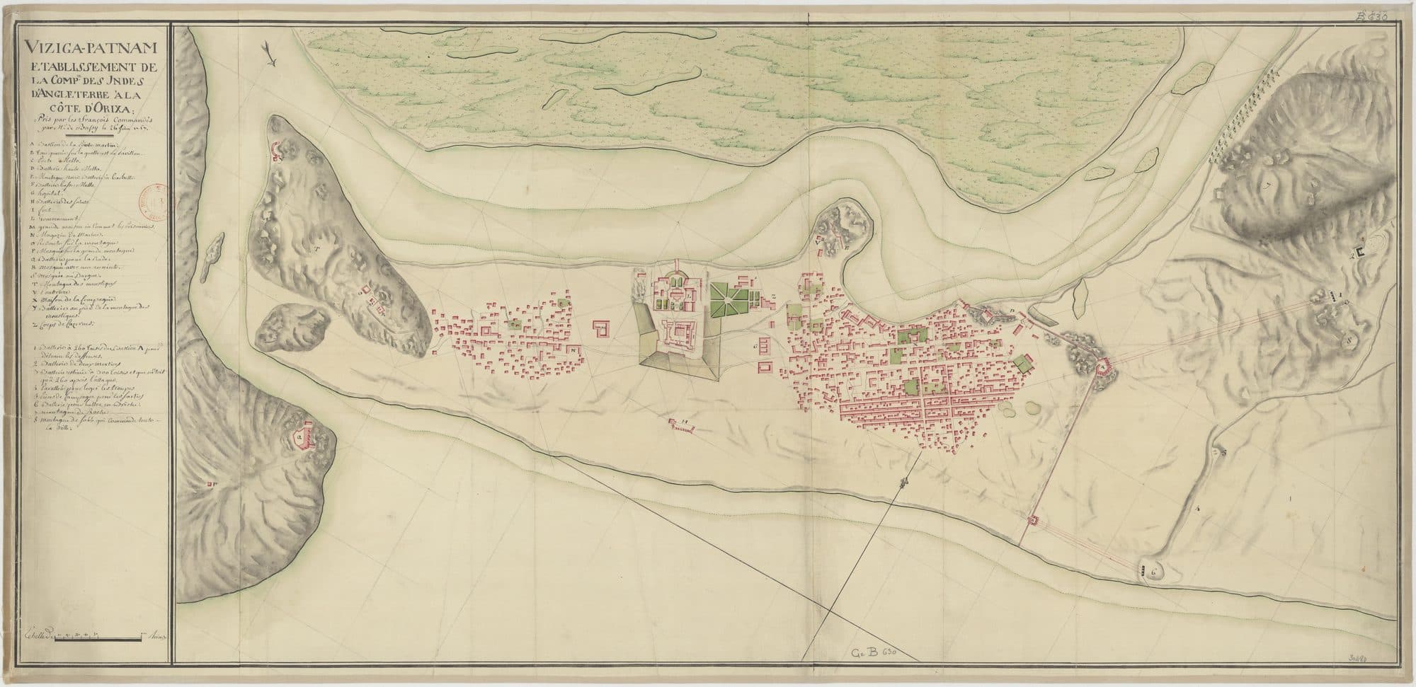
Visakhapatnam's harbour sits at the mouth of a gedda, one of the hill streams that cross the city on their way to the sea. The Bengal Nagpur Railway built the inner harbour there, at the mouth of the Meghadri Gedda, between 1927 and 1933. A generation earlier, in May 1903, the town council had been handed its first water works: a reservoir on another of those streams, one that rises in the hills near Simhachalam. By the end of the Second World War the military held water works on the Gosthani river and at the Meghadrigadda. In the 1970s the Meghadrigedda itself became a reservoir. And on 8 May 2020, the day after a styrene vapour release at a plant about a kilometre and a half away, the corporation stopped drawing water from it.
The city's three largest sources are also its three furthest. In the Central Ground Water Board's 2025 table of the corporation's sources, Mudasarlova, the first, is 10 kilometres away; Thatipudi and Raiwada are 56 and 60; and the largest, the Godavari and Yeleru system, is about 190 kilometres away. The Board's 2022 and 2025 reports put the city's demand at 490 million litres a day against 391 supplied, a figure first given for 2020. This is the story of how a harbour with no large river of its own came to drink from one so far off, and what the ground and the sea beneath it are saying now.
A harbour in a salt swamp
The town grew as a trading post on the coast. Water came later, and the town found it in hill streams and wells.
The Dutch were at Bimlipatam, up the coast, by about 1628. The English East India Company founded its settlement at Vizagapatam in 1682. Aurangzeb's forces seized the factory in 1689 and three Englishmen were killed; the French under Bussy took the fort in June 1757 with 600 Europeans, 6,000 sepoys and 30 guns. In 1769 the old trading post became the capital of a district. These were contests over a factory on the shore. Water enters the record later.
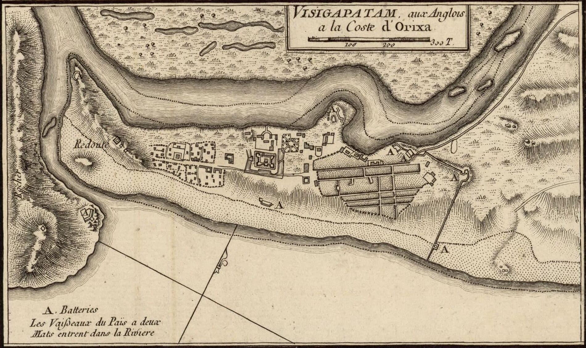
The 1907 district gazetteer describes the ground the town was built on. West of it lay the Upputeru, the “salt river”, which drained a land-locked tidal swamp four square miles in extent. That backwater is where the inner harbour would later be dug. To the north, at Waltair, the streams running to the sea had worn the red earth “into a series of impassable crevasses and gullies”. These are what the city calls geddas, the hill streams that run down through it to the sea. A city development plan prepared around 2006 counted 22 major geddas still draining the corporation area. What the town never had was a large river.
“No major river/perennial rivers are flowing across the study area.”
The sea was a problem of a different kind. In 1844 Major Arthur Cotton laid a series of loose stone groins to stop the sea eating away the sand in front of the sea-customs office, and the gazetteer notes they were still visible more than sixty years later. Between 1872 and 1875 convict labour reclaimed part of the backwater swamp, land that later became the municipal sewage farm.
Water appears early in the civic record and stays unbuilt for a long time. Vizagapatam started a voluntary municipal association in 1858, and the gazetteer records that in its very first year it turned its attention to “schemes of drainage and water-supply”. Its actual achievements, the gazetteer says, included a municipal hall with a library and a reading room. A statutory council followed in 1866. In 1871 the district judge built himself quarters on Kailasa hill, and in 1872 he proposed it to the government as a sanitarium. He had already laid out Rs 6,000 on roads, temporary buildings and reservoirs, the reservoirs because “there was no spring higher than half way up the hill”. The officials sent to inspect it reported that “the water difficulty was serious”, and in 1873 the government decided to spend nothing there. In 1891 the town had 34,487 people.
Twenty-five million cubic feet
The town's first piped water came from a dammed hill stream, and it did not reach Waltair.
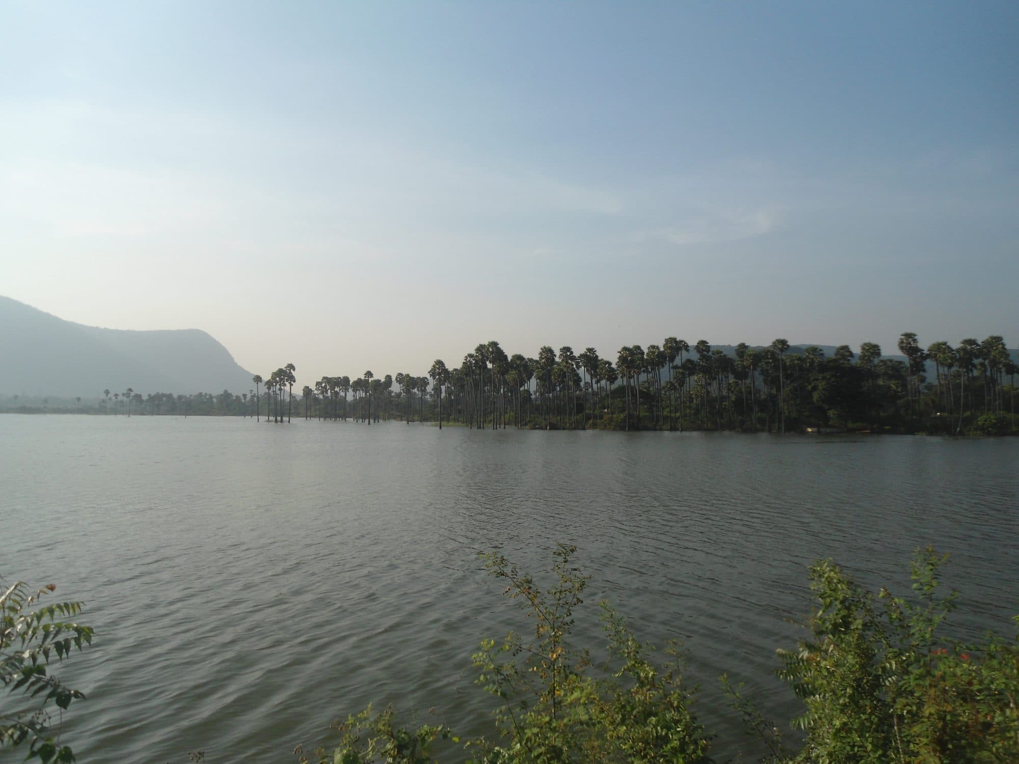
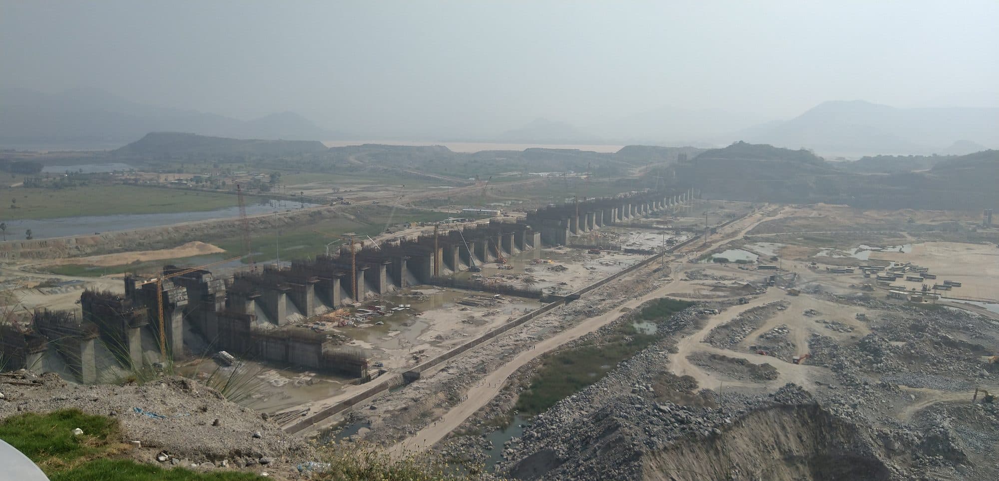
Local press histories say a piped scheme from the Hanumanthavaka stream was sanctioned in 1896-97 at Rs 4,21,000, and that water first ran through it on 18 December 1901. The official record is the 1907 gazetteer, and it is precise. The supply depended on a perennial stream called the Hanumanta Vanka, which rose in the hills west of the town near the Simhachalam temple and ran about five miles down a deep valley to Lawson's Bay. The stream had been dammed to form a reservoir with a catchment of six square miles and a capacity of 25 million cubic feet, about 0.71 million cubic metres. From it the water was led five and a half miles through a ten-inch iron main to a service reservoir near the jail, and from there to street stand-pipes. The Public Works Department built it for about Rs 4.5 lakh, half granted and half lent by the government, and handed it to the council in May 1903.
That reservoir is the one known today as Mudasarlova. The gazetteer does not use the name; the link rests on local histories and on the course of the stream. In 1901 the town held 40,892 people in 7,741 houses.
“The scheme does not command Waltair, which gets its water from wells.”
Waltair, the higher ground to the north, waited. Press histories date its first piped water to 28 April 1915. In the meantime the gazetteer noted, in its chapter on public health, that elephantiasis, once common in Vizagapatam and Bimlipatam, “has been checked since more care has been taken regarding the water-supply”. It does not tie this to the new works, which did not reach Bimlipatam; it credits that town with “numerous good wells”. The council also ran two sewage farms, one near Ross Hill and one on the reclaimed swamp.
For the next two decades the town hardly grew, and the one dam remained its only piped source. The census counted 43,413 people in 1911 and 44,711 in 1921, fewer than four thousand more than in 1901.
The reservoir is still on the city's list. In 2021 the state pollution control board, reporting to the National Green Tribunal, gave Mudasarlova's daily drawal as 1.82 million litres, which is 0.4 million gallons, the same quantity the city development plan says the city first received from the reservoir. The figure is not a new reading: the board's drawal figures repeat a table the corporation prepared for the Asian Development Bank, first in a 2016 draft and again in the final version of January 2019, which is the one the board cites. The Central Ground Water Board's source table, printed in 2022 and again in 2023 and 2025, lists Mudasarlova at 4.5 million litres a day. In August 2026, press reports said Mudasarlova had run dry.
The port and the army's water
The harbour was dug at the mouth of a gedda, and the war left the town with water works it had not built.
A harbour and a railway to Raipur were sanctioned in 1909 and then postponed for want of funds during the First World War, a 1965 Lok Sabha committee report records. The Bengal Nagpur Railway revived the plan in 1920. Between 1927 and 1933 it built the inner harbour in the old backwater, at the mouth of the Meghadri Gedda, to export manganese ore from the Central Provinces. The port opened to ocean traffic on 7 October 1933, when the passenger ship S.S. Jaladurga came in, and was formally inaugurated on 19 December 1933. In its first year it handled 1.3 lakh tonnes.
The town began to grow again: 57,303 people in 1931 and 70,243 in 1941. Then the war arrived. The port took on military importance and was run by the War Transport Department from 1942 and by the Defence Department from 1944 to 1946.
By the account of press histories, the Gosthani scheme was built by the military during the Second World War, by Army Engineers in 1942; the Board's source table lists Gosthani infiltration wells from 1930. What the official record settles is ownership. Answering a question in the Madras Legislative Assembly in July 1953, the government said that in 1946-47 the Military Department had offered both the Gosthani and the Meghadrigadda water works to the Madras Government. Gosthani was offered at Rs 18.07 lakh, and Rs 10 lakh was paid. Meghadrigadda was offered at Rs 8.58 lakh, but it went a different way.
“The Military authorities were not in favour of selling the Meghadrigadda water-supply installations to the municipality, as they wanted to sell it to the Harbour authorities.”
So by mid-century the gedda at the harbour mouth was already a water source, and the military meant it for the port. In 1951, the first census to count Visakhapatnam as a city, it had 108,042 people, and the census handbook recorded five water works serving the town.
Steel first, then the city
Most of the reservoirs the city drinks from were planned for farms or for the steel plant. The city's share was carved out of them.
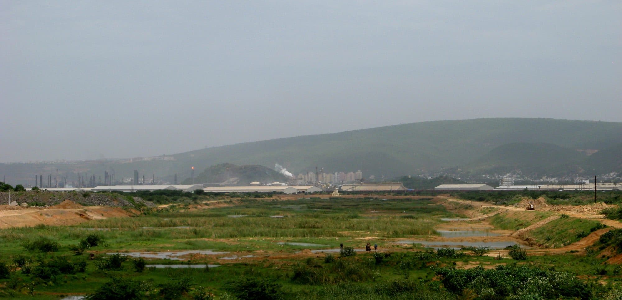
Industry arrived steadily. In 1957 Caltex commissioned the first oil refinery on India's east coast, now HPCL's Visakh Refinery. In the same year the Gambhiramgedda dam was completed for irrigation; the city still draws from it only between 1 March and 30 June each year. The port became a Port Trust in February 1964, and Coromandel's fertiliser plant was commissioned in 1967.
In 1964, six years before the Centre announced a steel plant at Visakhapatnam, the Andhra Pradesh government was working to bring one to the city and was already planning its water. The state finance minister's budget speech of February 1964 is explicit about who the next reservoirs were for.
“For meeting the water requirements of the Steel plant, the Raiwada Reservoir Scheme has been investigated and the project report sent to the appropriate authorities. A similar report on the Meghadri Gedda scheme is under preparation and would be sent to them soon.”
The reservoirs came one by one. Thatipudi, on the Gosthani, was completed in 1968 as an irrigation dam; the state's water resources department lists 11 million gallons a day from it for the corporation's drinking water, a planned share rather than a measured flow. The present Meghadrigedda reservoir was completed in 1977, according to the national register of large dams and a 2018 environmental study by the corporation, which adds that it was commissioned in 1979; the Board's source table gives 1976. The national register lists the state's water resources department as operating and maintaining the dam; the 2018 study describes the reservoir's surface as owned by the corporation. Raiwada, on the Sarada, was built in 1981-82 for irrigation. The state's water resources department records that 50 cusecs (cubic feet a second) were set aside for the city's drinking water “by suppressing 6000 acres of ayacut”: farmland below the dam gave up its water so the city could have some.
Meanwhile the site of the steel plant was inaugurated by Prime Minister Indira Gandhi on 20 January 1971. The 1971 census counted 352,504 people in the municipality and recorded that no town in the district, the city included, had underground drainage. The municipality became a corporation in 1979. By 1981 it held 584,166 people on 81.98 square kilometres.
The largest reservoir in the story is Yeleru, near Yeleswaram, and Parliament's records show what it was for. On 5 December 1986 the Rajya Sabha was told that the Centre had agreed in principle to help Andhra Pradesh finish the Yeleru scheme “for supply of water to Visakhapatnam Steel Project”. On 23 March 1989 the Centre's public health engineering body (CPHEEO) gave technical approval to a city scheme to draw 16 million gallons a day from the Yeleru and Raiwada canals, adding 15 million gallons a day to the city's supply up to 2010, at an estimated Rs 32.16 crore. Press histories say the canals added 15 million gallons a day to the city's supply in 1995; the Board's source table gives 1992 for Raiwada. The state completed the Yeleru water supply scheme for the steel plant in June 1991, and water began reaching the plant in July. The Yeleru dam, completed the same year, holds 24.11 TMC (thousand million cubic feet) gross. The plant was dedicated to the nation in August 1992, at a project cost of Rs 8,594 crore.
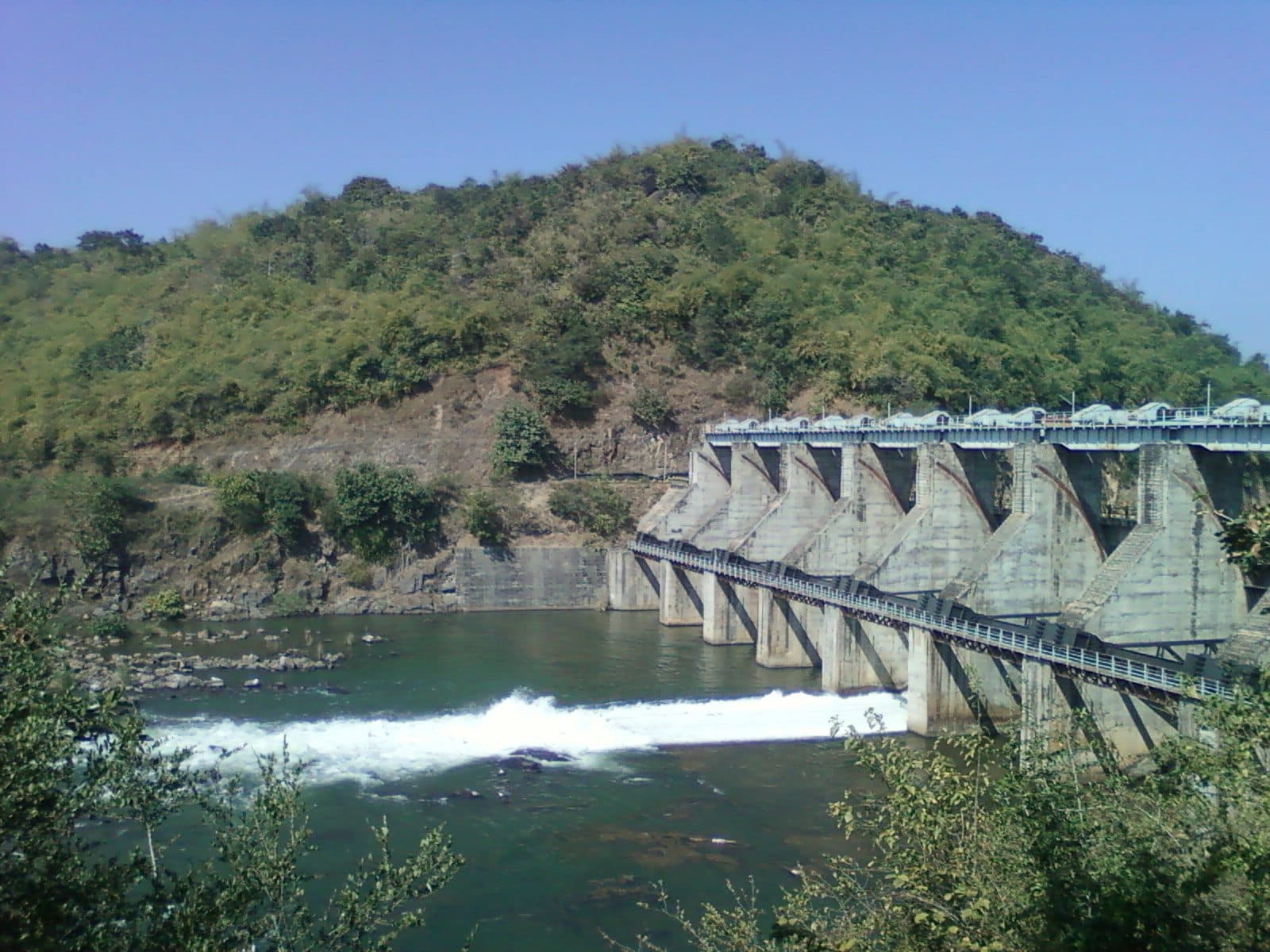
In May 1995 the Rajya Sabha was told what the state had promised the plant: an assured 73 million gallons a day from the Yeleru reservoir through the Yeleru canal, with 5 TMC earmarked in the reservoir. Set beside the 16 million gallons a day the 1989 city scheme was to draw from the Yeleru and Raiwada canals together, it shows which use the Yeleru canal was planned around. Neither number measures what actually flowed; both are what the records committed to. By 1991 the corporation had 752,037 people, and the wider urban area more than a million.
Borrowing the Godavari
The city's largest source, the Godavari and Yeleru, is about 190 kilometres away, and its water comes down the Yeleru canal that the state readied for the steel plant in 1991.
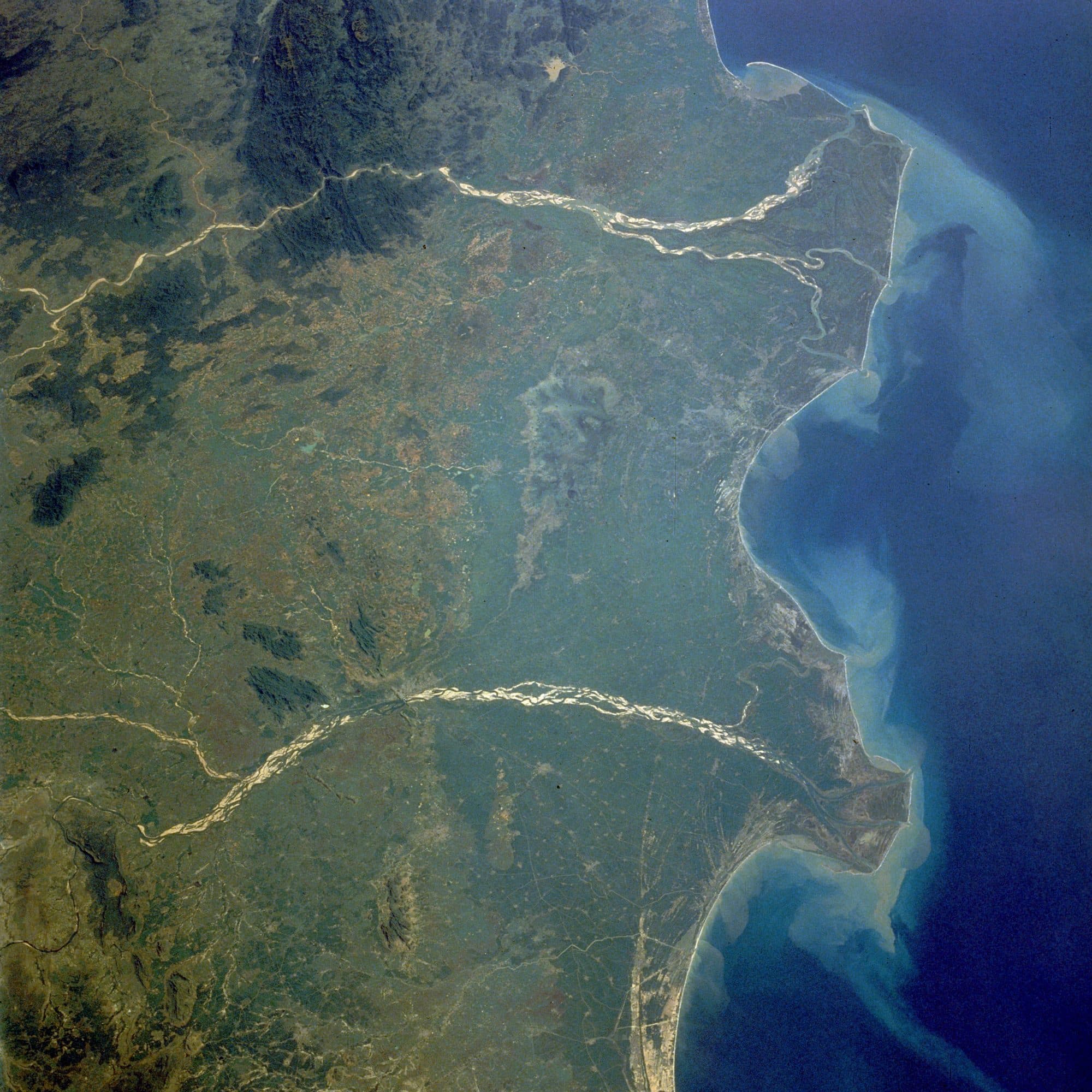
In 2003 the corporation took up what it called the Godavari Drinking Water Supply Project, designed for 33 million gallons a day. It paid for it partly with Rs 65 crore of municipal bonds and spent about Rs 135.5 crore on it across 2003-04 and 2004-05, by its own accounts. In 2003-04 it also lent the state industrial corporation, APIIC, Rs 60 crore and invested Rs 7.5 crore in the Visakhapatnam Industrial Water Supply Company, set up to carry water to industry along the Yeleru canal. A government order of 10 September 2004, as cited by the corporation in a 2016 document prepared for the Asian Development Bank, allocated 24 TMC from the left canal of the Polavaram project, which had yet to be built, for the city's homes and industries. The industrial water company says it completed a 56 kilometre pipeline from a pump house on the Godavari at Kateru to the Yeleru canal on 24 December 2004, and began operating it the next day.
The city itself was redrawn. On 21 November 2005 the state formed the Greater Visakhapatnam Municipal Corporation, merging the old corporation with Gajuwaka municipality and 32 villages, well beyond the old 111 square kilometres. The 2011 census counted 1,728,128 people in it, on 513.61 square kilometres.
The Board's 2025 source table dates the Godavari/Yeleru supply to the city from 2005. It is the largest of the nine sources in that table: 182 to 204 million litres a day of about 380 available, from about 190 kilometres away. Those quantities are the corporation's figures, and the Board's tables have carried them unchanged since its June 2022 report, through 2023 and 2025. The 2022 and 2023 reports add that the corporation was able to draw only 345.5 of the 380, because Raiwada and the Gosthani ran short.
The new source did not close the gap at once. The city development plan, with data to 2006, put demand at 87 million gallons a day against an installed capacity of 40.25, with supply of 62 to 65 litres a person a day and water in the taps for “around 45 minutes every day”. A 2016 document prepared for the Asian Development Bank, using 2014 data, gave 70 to 100 litres a person a day in the central area and total demand, including bulk users, of 458 million litres a day.
A second lift from the Godavari followed, at Purushottapatnam. Begun on 30 January 2017 and commissioned on 31 July 2018, it pumps Godavari flood water into the Polavaram left canal and on into the Yeleru reservoir, from which it goes to drinking water, industry and farmland. It cost Rs 1,637.48 crore and is designed to lift 30 TMC a season. The state, which undertook the scheme, told a joint committee reporting to the National Green Tribunal that the lift scheme is temporary and will stop running once Polavaram is complete.
The steel plant's needs grew alongside the city's. In July 2016 it began a new balancing reservoir at Kanithi, on 225 acres, at Rs 465.85 crore. Its 2018 environmental clearance papers put the plant's need at 30 million gallons a day and its township's at 8, with permission to draw 45 million gallons a day from the industrial water company.
12 October 2014
Water drawn from this far depends on pumps, and pumps depend on power.
Cyclone Hudhud crossed the coast over Visakhapatnam between noon and 1 pm on 12 October 2014. The India Meteorological Department put its sustained winds at about 185 kilometres an hour; the recorder at the cyclone warning centre in the city caught a gust of 260 kilometres an hour, and the port tide gauge a storm surge of 1.4 metres. IMD noted that it was the first cyclone to cross the Visakhapatnam coast in October since 1985.
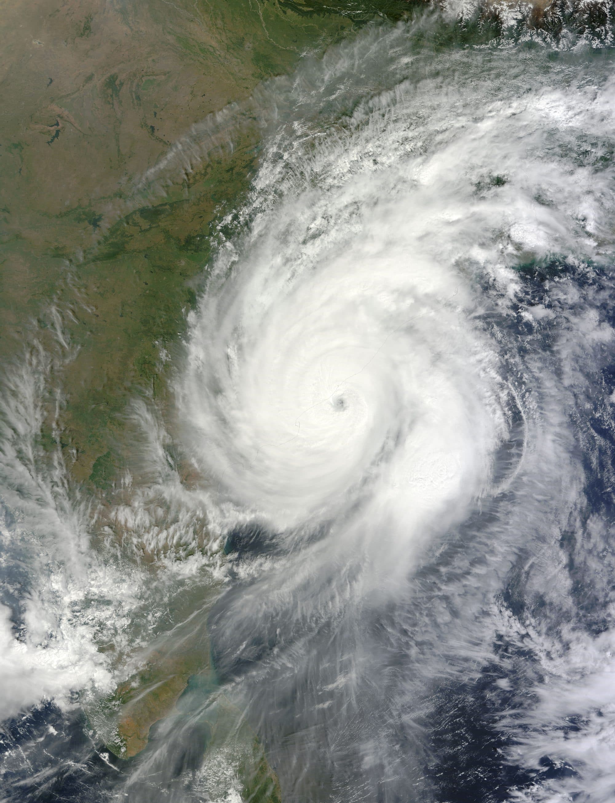
The Andhra Pradesh government's damage table, which IMD reproduced in its report, covers four districts rather than the city alone. It counted 102 water supply pumping stations damaged, 197 overhead reservoirs fully damaged and 39.4 kilometres of trunk pipeline. That table records 46 deaths; the World Bank's appraisal and the National Disaster Management Authority's lessons report give 61.
The harder damage was to electricity. The World Bank's appraisal describes a power distribution system that was above ground and “prone to high winds”, and heavily damaged. NDMA found that power came back within two to seven days in urban areas. Press reports on 14 October said the city had no piped drinking water and that household motor pumps stood idle without electricity; on 16 October water was still arriving by tanker. NDMA records how supply was kept going.

“Generators were put in place for lifting water in absence of power supply. These were also utilized at head water works.”
Across the state, 6.5 million water packets were handed out over fifteen days. We did not find an official count of how many days the city went without piped water, or of the damage to the city's own pumping stations, and we could not find online the joint damage assessment that would hold those figures.
What followed was a change to the wires rather than the pipes. In June 2015 the World Bank appraised a US$370 million recovery project for the state. Its first component, costed at US$120 million, was designed to put about 700 kilometres of Visakhapatnam's power lines underground, across three of the city's four distribution zones. The Bank's completion report of October 2022 counted 80,529 consumer accounts on the underground network, against 300,000 planned at appraisal; it says the appraisal had overestimated the number of accounts.
What the ground and the sea are saying
Most of the city's mandals are rated safe, one was rated critical in 2024-25, and levels are falling. The coast has been read more than one way.
Under the city, the water has been salty for a long time in some places, and not all of that salt comes from the sea. The city development plan of around 2006 recorded chloride of up to 4,757 mg/L in borewell samples, against at most 215.2 in water from public taps. A 2010 study of the industrial belt beside the Hindustan Zinc, Coromandel and HPCL plants reported total dissolved solids of 2,000 to 4,000 mg/L in the 1980s, rising to 3,000 to 7,500 at the time of the study. The study attributed the rise to heavy dumps of industrial waste mixing with the groundwater.
In the Board's 2023 assessment (for 2022-23, the last to assess the city as a single unit), quoted in its 2025 aquifer plan for the city, extraction across the plan's 1,200 square kilometre study area stood at 39 per cent of the usable resource, and all 12 mandals in that area were rated “safe”. The next assessment, for 2023-24, was the first to rate the city mandal by mandal, and it put four of the urban units at semi-critical. The Board's assessment for 2024-25, published in December 2025, rated Visakhapatnam Rural mandal “critical”: it drew 95 per cent of the groundwater that can be taken out there each year. The 2025-26 edition on the national IN-GRES portal, newer than that December 2025 report and the one the city's groundwater page uses, rates the same mandal safe at 48 per cent. The amount drawn hardly changed; the estimate of what can be taken out nearly doubled, because the new edition adds recharge from surface irrigation that the 2024-25 edition did not include. The same edition puts Gajuwaka at 89 per cent, semi-critical, on a much higher estimate of industrial pumping and a lower one of recharge from surface irrigation. The 2025 aquifer plan also finds levels falling. Of 41 wells it analysed for 2014 to 2023, 27 showed a falling trend before the monsoon and 29 after it, even though rainfall did not change over the decade. The Board puts this down to the city sealing its own recharge ground: built-up area rose from 119 square kilometres in 2013 to 283 in 2023.
The coast has been read in more than one way, and the readings are set out here side by side:
- The Board's June 2022 district report, which covers the old, undivided district of 43 mandals: “Though the district has a coast line of 132 km, no sea water intrusion/ ingress is reported and observed.” That 132 km is the old district's coast; today's smaller district has about 68 km, by the Ministry of Earth Sciences' 2024 figure.
- The Board's 2025 report calculated where fresh groundwater meets salt water along four coastal sections. On the southern section, Pedapalem to Thanam, the salt wedge reaches up to 300 metres inland before the monsoon and 200 metres after it. On two others it reaches 80 to 150 metres, and on the central city section the report finds no such reach. The report concludes that groundwater still flows to the sea, with “no reversal of gradients and saline water intrusion”, though its recommendations also say that heavy pumping from deep wells near the coast “has resulted in the adverse effect of seawater intrusion”.
- A 2023 study of 41 coastal samples found seawater intrusion in 30 before the monsoon and 38 after it by one measure (the sodium to chloride ratio), while a second measure in the same study pointed the other way.
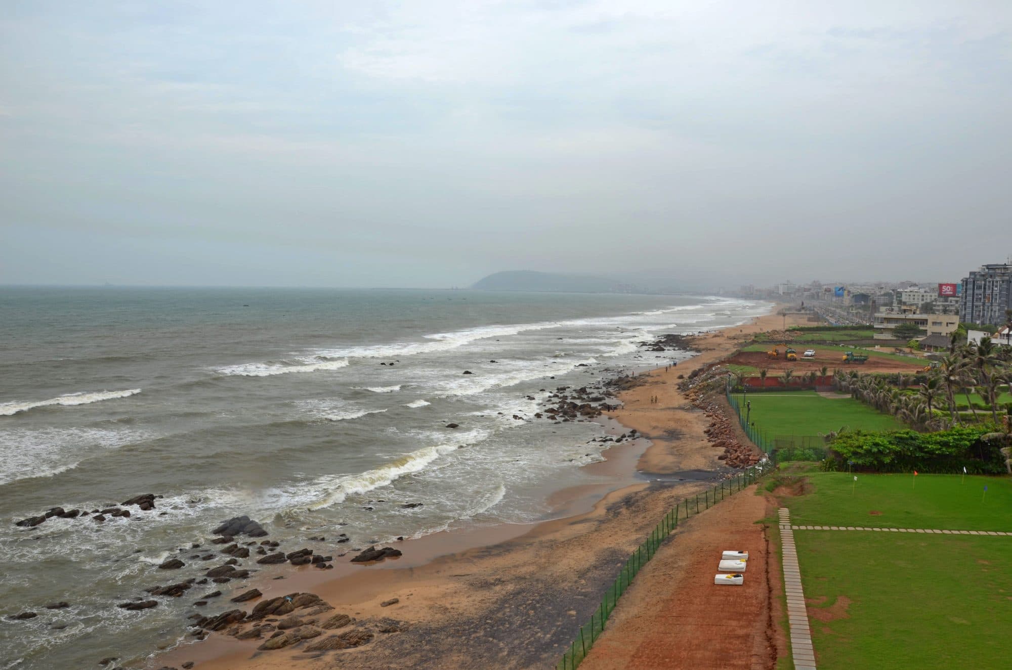
In May 2020 the question under the city was not salt. At about 3 am on 7 May, styrene vapour escaped from the LG Polymers plant at R.R. Venkatapuram. The state's High-Power Committee recorded 12 deaths and 585 people injured. On 8 May, on the District Collector's orders, the corporation stopped drawing water from the Meghadri Gedda reservoir, about 1.5 kilometres north-west of the plant, and arranged other supply for the areas it served.
The committee's report carries two sets of test results, and both belong in the record. Samples taken on 9 and 10 May by CSIR-NEERI and the NDRF found styrene at 1.74 mg/L in the Meghadri Gedda reservoir and 3.76 mg/L in the Narava Kota reservoir, against a WHO guideline of 0.02 mg/L. The corporation's own samples from the Meghadri Gedda reservoir, tested by the Regional Laboratory and the pollution control board on 9, 10 and 11 May, did not detect styrene.
The dated actions are clear. From 11 to 19 May the corporation washed 6,318 houses using 30 tankers, bailed out 378 open wells, took 79 public hand-pump borewells and 36 household borewells out of drinking use, ran 30 tankers on 75 trips a day, and from 12 May released Godavari water from a 2,000 kilolitre ground-level reservoir for two hours each morning and evening. The committee recommended that drinking water sources be monitored for styrene for at least two years.
The gap, and the next demand
The city's recent water figures come from different bodies on different bases. They do not add up to one number, and this page does not force them to.
In 2021 the corporation told the National Green Tribunal it supplied 23 lakh people at 105 litres a person a day, drawing about 80.45 million gallons a day (about 366 million litres). It split that into 64.05 for homes and 16.445 for industry and commerce; those are the filing's own figures, and the two parts add to 80.495. In an affidavit sworn in March 2024 it estimated the city's sewage at 215.05 million litres a day, working from 110 litres a person a day for the same 23 lakh people; it listed 19 sewage treatment plants with 179.5 million litres a day of capacity, and sewers reaching 60 per cent of the population. In a report of 10 July 2024 in NGT Principal Bench OA 606/2018, the state's Chief Secretary gave the corporation's present water supply as 334.03 million litres a day. The state's affidavit in the same case in February 2026 again put sewer connections at 60 per cent of the city's population.
The Central Ground Water Board's 2022 and 2025 reports put demand at 490 million litres a day against 391 supplied, a gap of 99. That is the 2022 report's figure for the year 2020, carried into the 2025 report, and the demand side includes a bulk supply component. It is not a new measurement. The same reports' source table prints a different total, 380: its rows add to 380 only with the Godavari and Yeleru row at the low end of its 182 to 204 range, and to 391 at the middle of it. That is our arithmetic; the reports do not explain the difference. The reports' demand tables project 828 million litres a day by 2031 and 1,078 by 2041. The Board's main supply-side measure is Polavaram: 12 TMC of Godavari water for the urban area. The Polavaram Project Authority's own page gives 23.44 TMC for the city and its surroundings, the steel plant included; the 2004 order gave 24. These cover different things, and we have not converted one into another.
Industry remains a large user. The steel plant's environmental statement for 2023-24 reports water use of 120,428 kilolitres a day, about 120 million litres, against 115,055 in 2022-23.
The newest demand is data. A government release of 14 October 2025 announced Google's first AI hub in India at Visakhapatnam: about US$15 billion over 2026 to 2030 for a “gigawatt-scale” data-centre campus. The release did not give a water figure. Ground was broken at Tarluvada on 28 April 2026, and Google announced a watershed programme around its campuses; the releases did not say where cooling water would come from.
The state's environment impact assessment authority has since cleared three data-centre parks near the city, and each clearance names its water. Tarluvada, for 1,000 MW, lists 267 kilolitres a day, 239 of it fresh water; Rambilli, also 1,000 MW, lists 234, with 207 fresh (both cleared on 18 April 2026); Adavivaram, for 512 MW, lists 307, with 246 fresh (10 June 2026), and specifies air-cooled chillers. All three name Rural Water Supply and Sanitation as the source. The rest of each total is the campus's own treated wastewater, recycled on site, so the claim on that supply is the fresh water: about 0.7 million litres a day together (about 0.8 with the recycled water). The Adavivaram park's survey numbers include land in Mudasarlova village, which gives the city's first reservoir its name. A separate clearance of 24 December 2024, for a data-centre and technology park at Madhurawada, lists 2,644 kilolitres a day, of which up to 1,429 is fresh water to come from the corporation's supply and the rest is treated water recycled on site. When it was cleared, the state industrial corporation's request to the municipal commissioner for that water was still being processed.
The larger figure is press-only. On 19 August 2026, press reports quoted the state IT minister telling the Assembly that a 6.5 GW data-centre cluster would need about 3 TMC a year, drawn from Polavaram's industrial allocation. We did not find the Assembly's own record of the reply.
The summer of 2026 is also, so far, a press record. In August, press reports quoted a corporation engineer saying the city needed 400 million litres a day and was receiving 320, of which 90 went to industry, with some localities getting water once in two or three days and officials citing below-normal rain in June and July. On 2 September, press reported, Polavaram left canal water was released towards north Andhra. We did not find an official corporation or state document on the shortage itself.
A few things we looked for and did not find in an official record: a count of the days without piped water after Hudhud; the year the city first drew from Thatipudi, Raiwada and Gambhiramgedda (the Board's source table gives a year for each without saying what it marks, and press histories give 1967, 1995 and 1957), or when the 1989 canal scheme for the city was completed; a current measured figure for water lost between plant and tap; and a corporation or state document on the 2026 shortage. Each would sharpen this story.
The arc is simple to state. A town that found its first water in a hill stream ten kilometres away now draws its largest share from the Godavari and Yeleru, about 190 kilometres away, along a canal planned for steel, through pumps that stop when the power does, over ground that is filling with buildings and a coast whose salt line is still being measured.
See where Visakhapatnam's water stands todayThe groundwater under the cityQuotable facts and citations