City of tanks - how Hyderabad engineered its way out of a flood, and what it still owes that system
Last revised July 2026. A long-read companion to the live dashboard and facts page. Dashboard - Facts
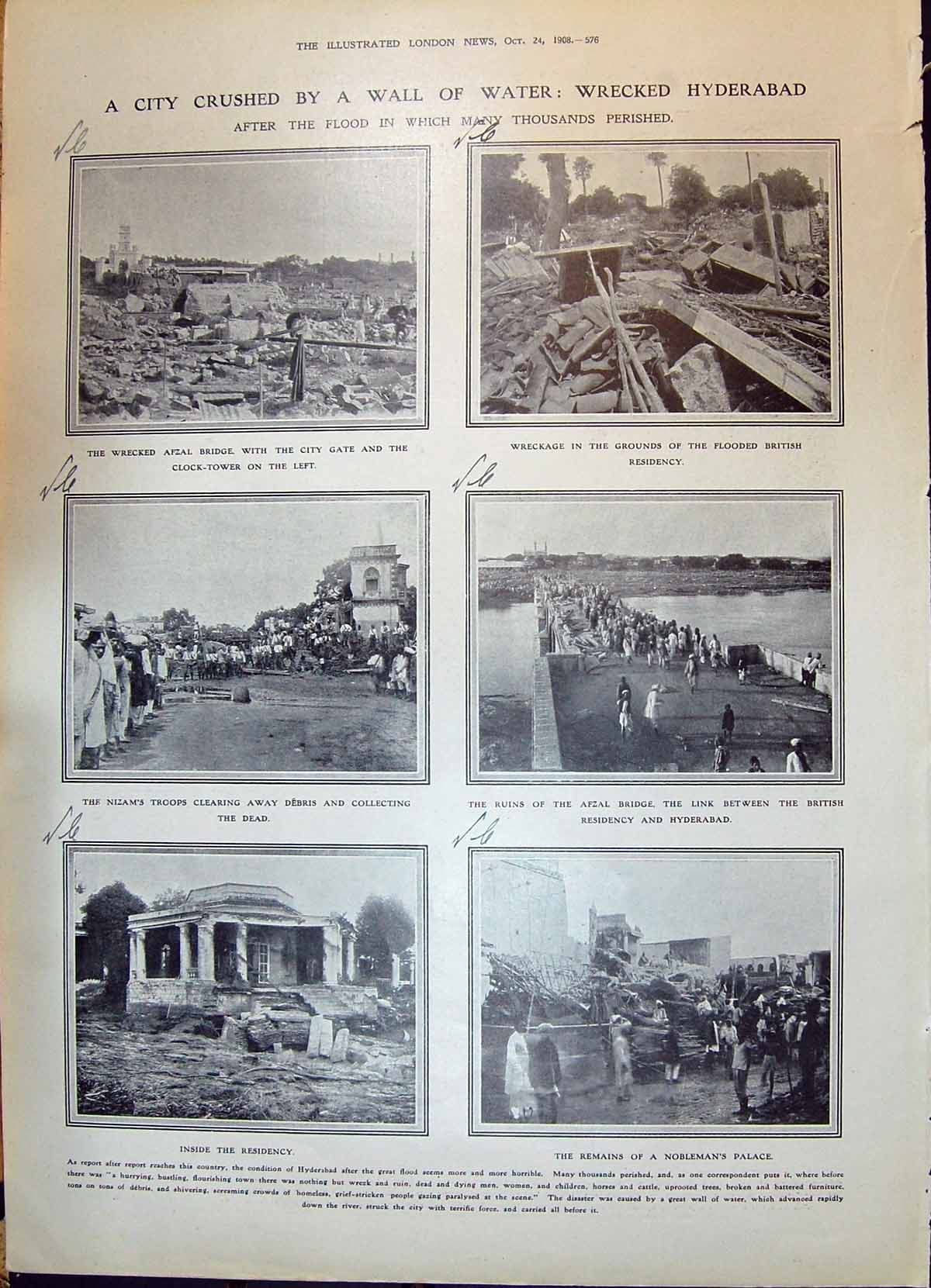
On the night of 28 September 1908 the Musi rose through Hyderabad and took roughly fifty-nine thousand houses with it. Upstream, of the 788 tanks strung along the river, 221 breached - the cascade that had watered the city for three centuries failing link by link, each collapse feeding the next. The Nizam sent for an engineer. M. Visvesvaraya, then travelling in Italy, joined the Hyderabad government as Special Consulting Engineer in April 1909 and gave an answer that was less about water supply than about survival: build reservoirs upstream large enough to hold back "all floods in excess of what the river channel could carry". Osman Sagar was begun in 1913 and finished in 1918; Himayat Sagar followed. Hyderabad dammed its river so that the river would stop killing it. A century later those two lakes supply about six per cent of the city's water, the rest is lifted from the Krishna and the Godavari a hundred and more kilometres away, and of the 2,978 lakes in the metropolitan region, 1,626 have no legally settled boundary at all.
A city assembled out of tanks
Hyderabad was not built beside water. It was built out of water it made.
The Deccan plateau gives a city granite and a monsoon and very little else. There is no perennial river of consequence here, no snowmelt, no delta. What Hyderabad's founders had instead was gradient, and they used it the way the Deccan always has: by cutting bunds across every seasonal drainage line and catching the rain where it fell.
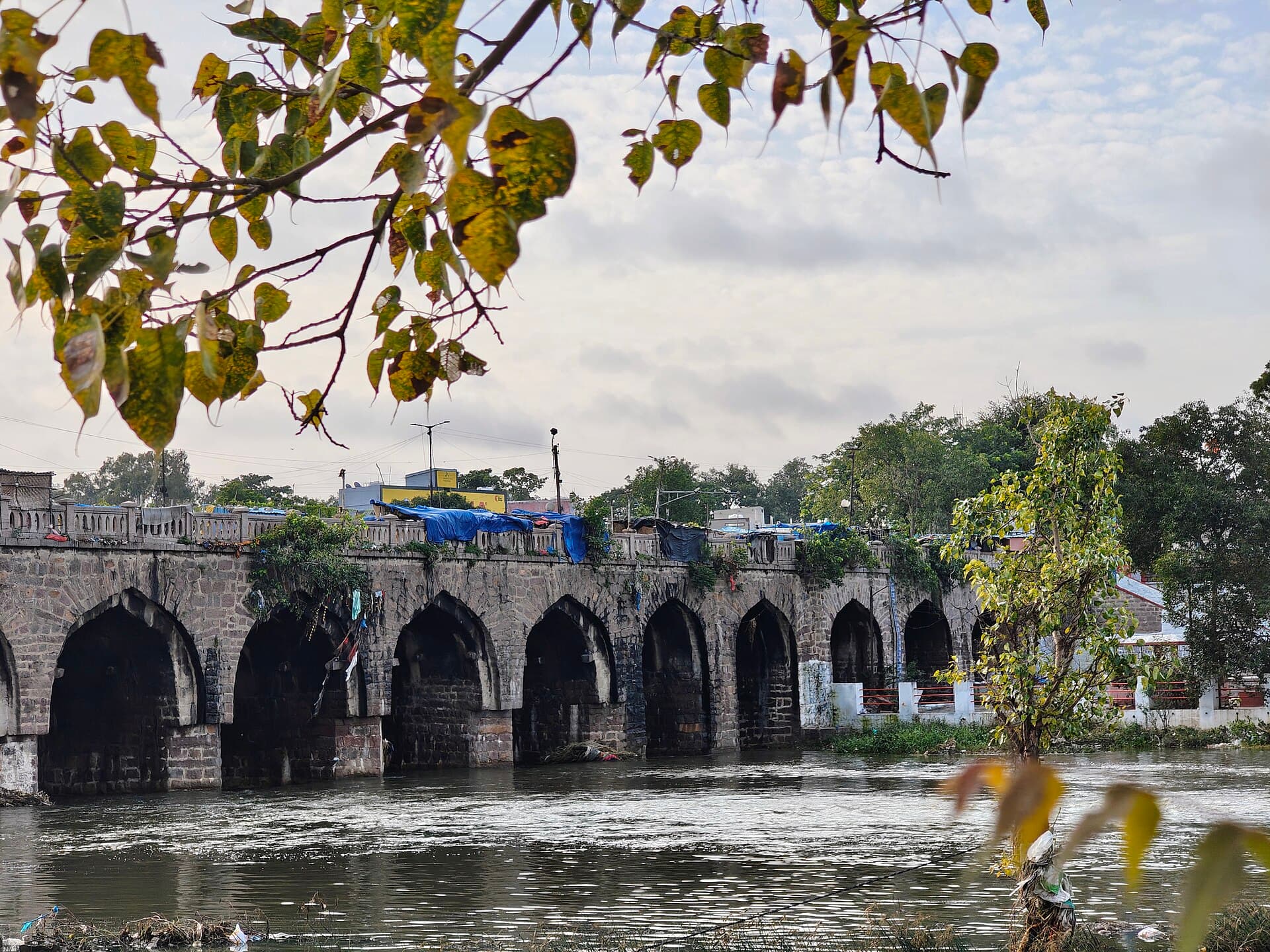
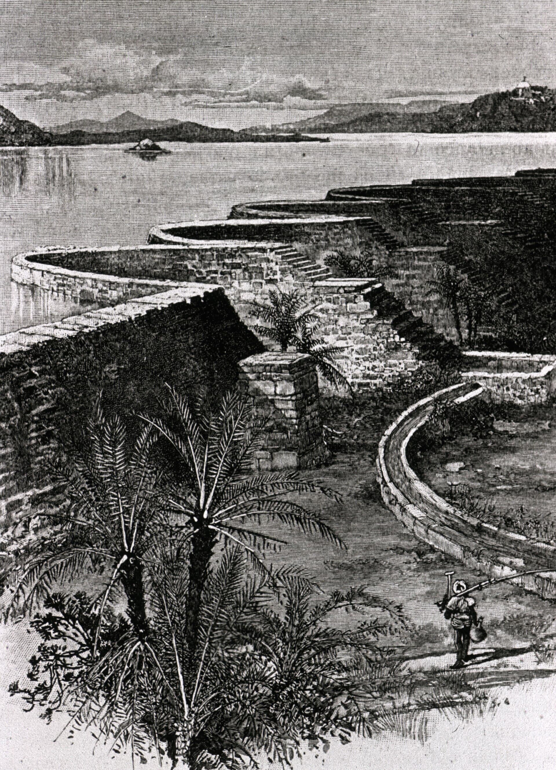
The vocabulary survives in the map. A cheruvu is a tank, a kunta a pond, a sagar a lake grand enough to be named for a ruler. Hussain Sagar, excavated in 1562 and completed the following year under Ibrahim Quli Qutb Shah, was dug on a tributary of the Musi more than two decades before Hyderabad itself was founded - the water came first, the city afterwards. Two and a half centuries later, between 1804 and 1806, Mir Alam Tank went up on twenty-one semicircular masonry arches running about a kilometre and a half, a piece of engineering ambitious enough that its design is still argued over.
These were not ornaments. They were a machine with many parts, and the parts were connected: overflow from one tank fed the next, and the chain ended in the Musi. That is why the 1908 flood reads the way it does in the record. It was not simply that a great deal of rain fell. It was that 221 of 788 tanks gave way in sequence, and a system built to slow water down spent one night doing the opposite.
“The tanks did not fail because they were old. They failed because they were a system, and a system fails the way it is connected.”
The two lakes built to hold back a river
Osman Sagar and Himayat Sagar were flood control first. Drinking water was the second use.
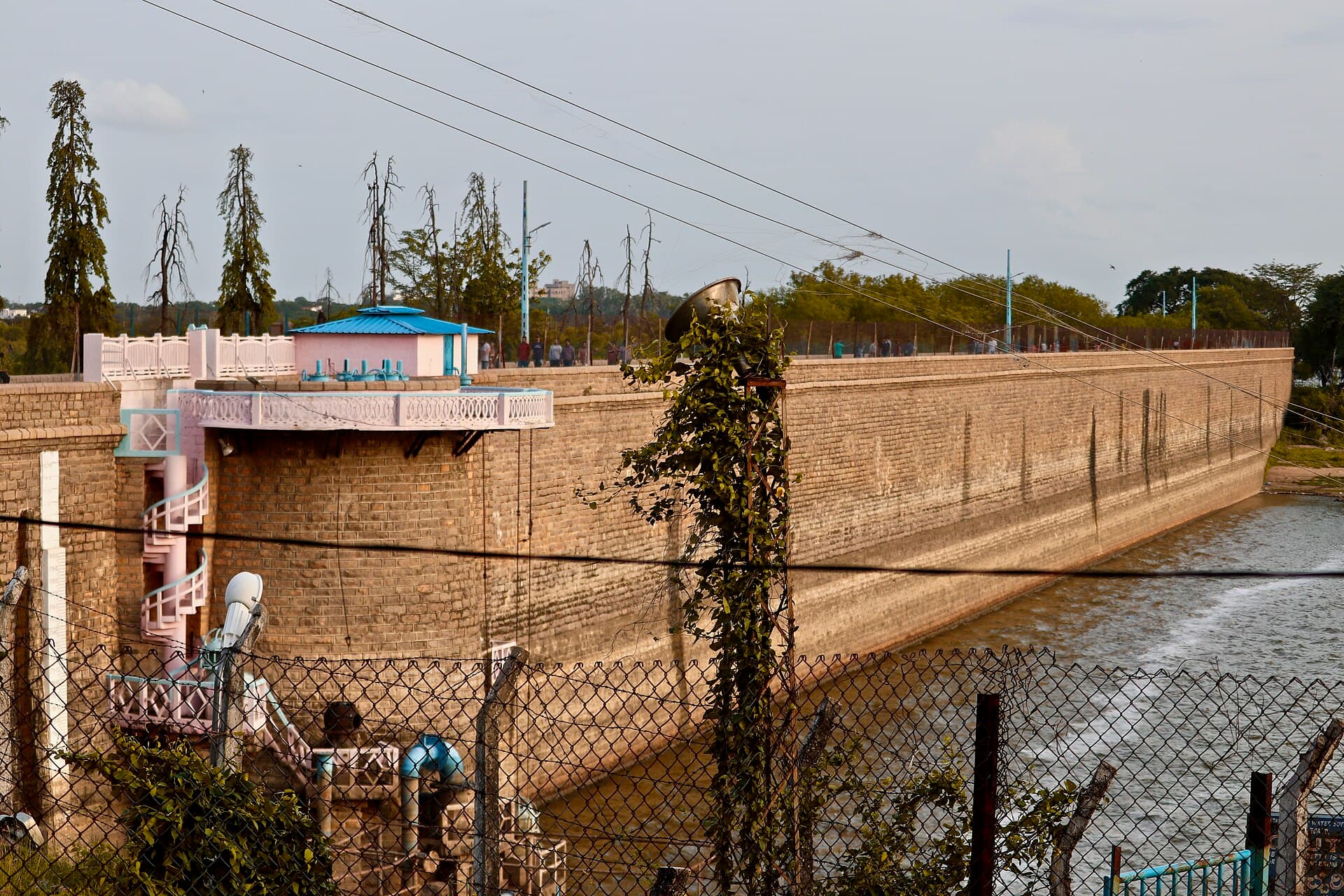
Visvesvaraya's brief in 1909 was not to find Hyderabad more water. It was to make sure the Musi could never again arrive in the city all at once. The reservoirs he proposed sat upstream on the Musi and on its tributary the Esi, sized to absorb a flood peak rather than to serve a population. Osman Sagar, begun in 1913 and completed in 1918, is still the largest water body in the city at roughly 1,810 hectares; Himayat Sagar, on the Esi, is about 1,492. Hussain Sagar, for scale, is 456.
Because they were built for floods, they were also protected as catchments - and that protection outlived the Nizams. In 1996 a government order numbered 111 barred major construction across eighty-four villages and roughly 1.32 lakh acres in the catchment of the two lakes. It was one of the strongest pieces of urban water protection in the country, and for twenty-six years it held a development-shaped hole in the map of a city expanding in every direction.
In 2022 Telangana repealed it. The stated reason was that Hyderabad had moved on: its water now came from the Krishna and the Godavari, and the twin reservoirs no longer mattered enough to justify freezing eighty-four villages.
The long lift
As the city outgrew its own rain, it reached further and further out - and the daily draw more than doubled in twelve years.
The board publishes, every day, how much water it took from each of its sources. That is unusual - most Indian utilities publish a design capacity and leave the actual draw to inference - and it means Hyderabad's growth can be measured rather than estimated.
A 136 per cent increase in twelve years, and almost none of it came from the Musi. On 25 July 2026 the board drew 2,659 million litres. Of that, 1,253 came from Akkampally - a balancing reservoir on the Krishna, fed from Nagarjuna Sagar - and another 737 from Sripada Yellampally on the Godavari, about two hundred kilometres to the north. Singur and the Manjira barrage supplied 499 between them. Osman Sagar and Himayat Sagar, the two lakes the city was reorganised around, supplied 170.
So the government's 2022 argument was not invented. In 2018 the twins supplied nothing at all - not on a single day of the year. In 2016 and 2017 they ran fewer than half the days, at under one per cent of the city's draw. Anyone reading the ledger then would have reasonably called them spent.
But the ledger kept being written. The twins have been drawn on every single day since 2020. Their share has risen every year since 2023 - 3.25 per cent, then 4.31, then 6.32, and 6.54 so far in 2026. In absolute terms 2026 is the highest year in the entire record, above even 2014. Whether the repeal caused that or merely coincided with it is not something the daily statement can answer. What it can say is that the premise has been getting less true every year since the order was signed.
“The order was repealed because the lakes did not matter. Every year since, they have mattered more.”
The boundary that was never drawn
Hyderabad's water problem is no longer scarcity. It is that the lines around its water are unfinished, and the columns meant to record what crosses them are blank.
Every lake in the metropolitan region is supposed to have its Full Tank Level fixed twice: a preliminary notification, then a final one once objections have been heard. Until the final notification issues, there is no boundary a court can be pointed at. All 2,978 lakes in HMDA's register have the preliminary. Only 1,352 have the final.
The gap is not spread evenly. Rangareddy district holds the largest lake estate in the region, 891 lakes, and has among the weakest coverage: 34.5 per cent finally notified, against 68.0 in Siddipet and 66.7 in Hyderabad district. Rangareddy is the Outer Ring Road corridor - Gachibowli, Kokapet, Manikonda, the land under the heaviest development pressure in the state. The lakes with the most valuable ground around them are the lakes whose edges are least settled.
Something did change recently. Final notifications ran at 152 in 2016 and then effectively stopped - ten, sixty, two, three, two across the next seven years. Then 533 in 2024 and 533 again in 2025, which is two-thirds of every final notification ever issued, arriving in twenty-four months. That surge coincides with the creation of HYDRAA, the agency set up in 2024 to protect lakes and clear encroachments. The register is being finished, late and fast.
The drains tell a thinner story. GHMC maps 96 named nalas running 245 kilometres, and its own data layer defines exactly the fields the flooding debate needs: encroachments per drain, separated into government, private and religious, with a count of how many are in court. All five fields are published as zero, for all 96 drains. In a city that created an agency to demolish encroachments and has been demolishing them since, that is an empty column rather than a clean record - and because the city has already specified the schema, it is an unusually precise thing to ask it to fill.
Meanwhile the demand shows up where the map is newest. Across 1.32 million tanker bookings, the heaviest are not in the old city but in Madhapur, Kondapur and Hafeezpet, then Gachibowli, Manikonda, Nizampet - the IT corridor, plus Banjara Hills and Jubilee Hills. It is the same geography as the unfinished lake boundaries. The city grew faster than its pipes, and where the pipes have not arrived, the tankers have.